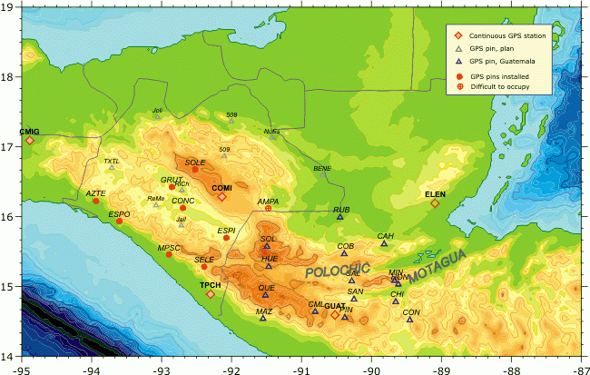
9 new occupation sites and two
permanent GPS stations of the Chiapas GPS network were installed
in 2001-2003 to study the continuation of the Polochic-Motagua
Fault System and the boundary between the Nort American
and Caribbean plates in Mexico.
The sites were occupied in February 2002 and February 2003, each
site for 3 days. The site AMPA is not safety
(all GPS equipment was stallen
form there in February 2002), and
it was not measured in 2003.
The records from continuous GPS stations in Comitan (COMI)
and Tapachula (TACH)
will be used as the reference
for a differencial data processing.
There are 16 occupation sites in Guatemala installed in 1999 as
a part of the Guatemala-French cooperation program focused on
the seismotectonic study of the Polochic-Motagua Fault System
(Dr. Helene Lyon-Caen, lyoncaen@geologie.ens.fr).
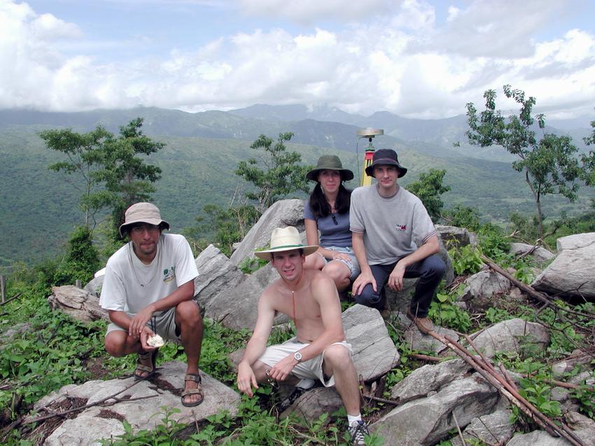
Photo of the Chiapas GPS team, 2001.