|
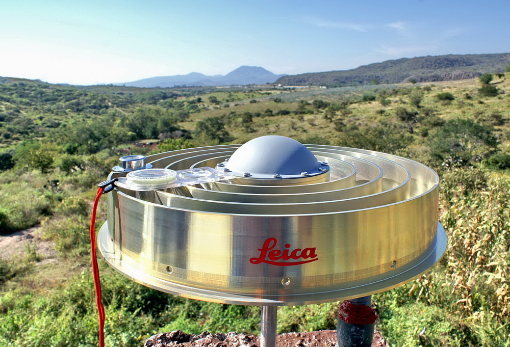
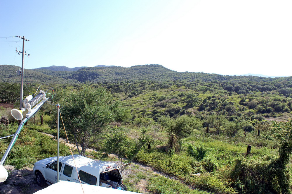
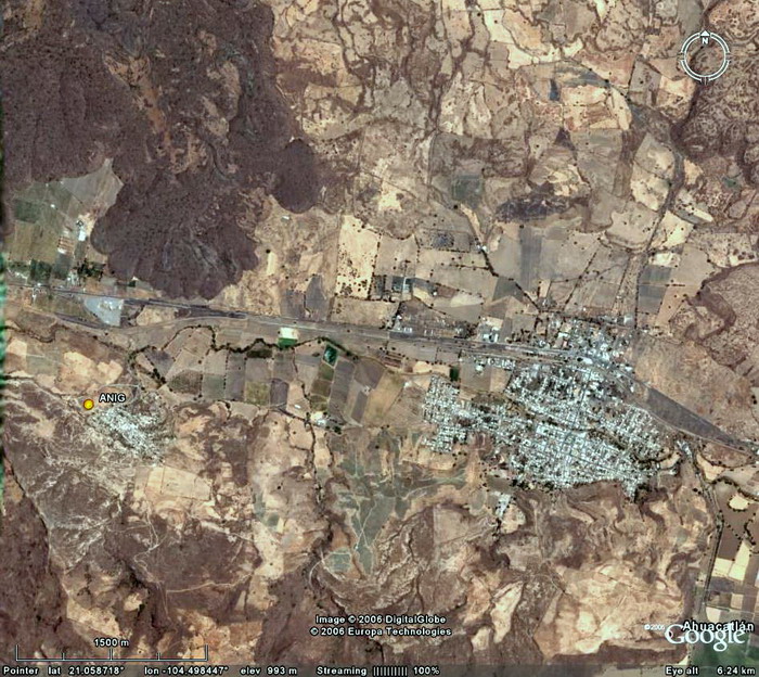
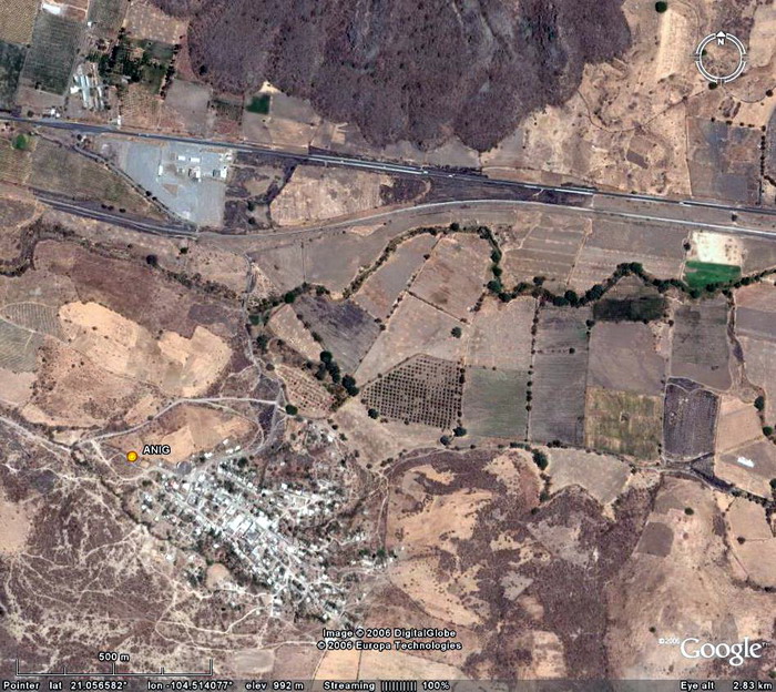
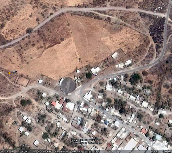
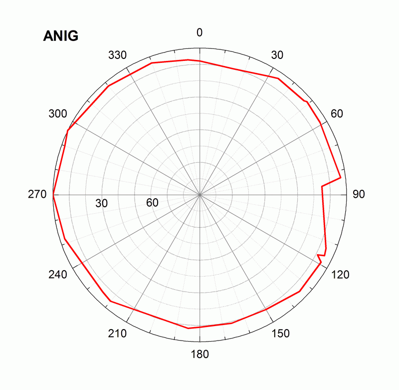
Location on the map: Google Earth: 3km, 1.5km, 0.5km, 0.1km, kmz file ANIG log file Station horizon mask Data Plot |
Longitude: 104° 31' 14.60123 W H: (Ell. Height) 1001.253 m |
|
|
|
|
|
 |
|
|
 |
 |
 |
 |
  |
|
|
|
|
|
|
|
|
|
|
|
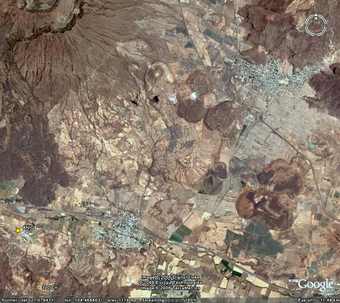
Location on the map: Google Earth: 3km, 1.5km, 0.5km, 0.1km, kmz file ANIG log file Station horizon mask Data Plot |
Longitude: 104° 31' 14.60123 W H: (Ell. Height) 1001.253 m |
|
|
|
|
|
|
|
|
|
|
|
|
|
|
|
|
|
|
|
|
|
|
|
|
|
|
|
|
|
|
![]()