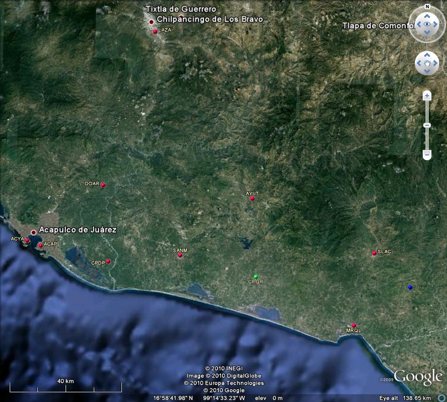
AYUTLA (CORTIJO)
PERMANENT GPS STATION
GUERRERO
(G-GAP projects. Sismologia,
IGF UNAM, LGIT Grenoble, France)
Location
on the map
AYUT log file
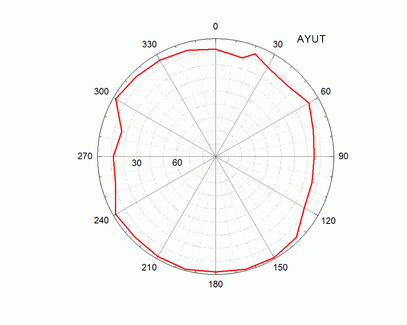
Station horizon mask
Data Plot
New Permanent Station Form |
Latitude:
16° 59' 16.0573" N (+16.9878 )
Longitude: 99° 08' 43.0337" W (-99.1453
)
H: (Ell. Height) 363.008 m |
 |
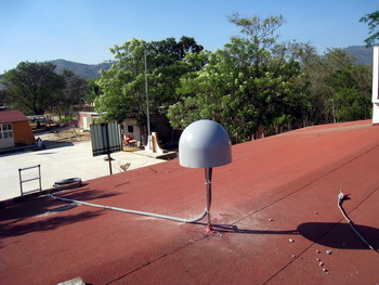 |
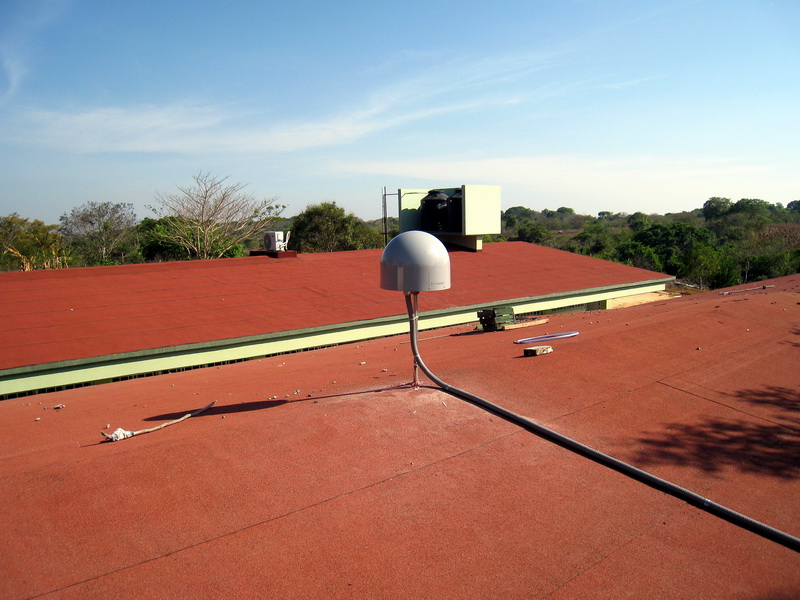
AYUT GPS station. Escuela Secundaria Tecnica # 261.
Cortijo, Municipio Ayutla, Guerrero. SE view. |
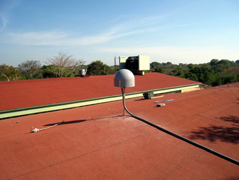
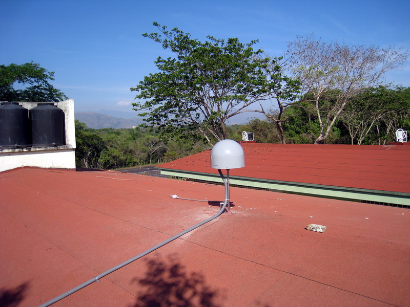
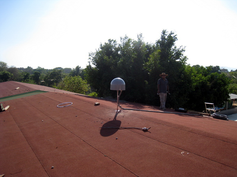
View to the North. |
 |
 |
|
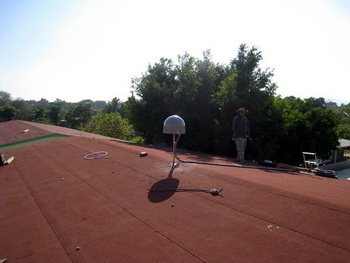
View to the South. |
View to the East. |
 |
 |
|
View to the West. |
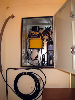
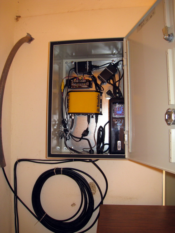
GPS equipment (Trimble netRS). |
Acknowlegment:
Installed by Jorge Real, Juan Payero de Jesus and Vladimir Kostoglodov,
April 28, 2010.
We thank Director of the Escuela Secundaria Tecnica Industrial
#261 "Emiliano Zapata", Prof. Francisco Plancarte Mondragon
y
Prof. Armando Morales for the help and permission for the GPS
installation.
<<
BACK

