|
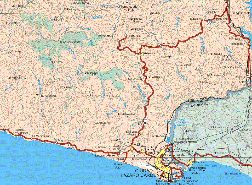
Location
on the map,
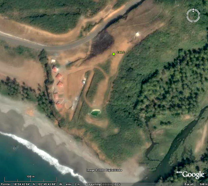
map, zoom-map Google Earth: 3km, 1km, 0.5km, 0.1km, kmz CALC log file Station horizon mask Data Plot |
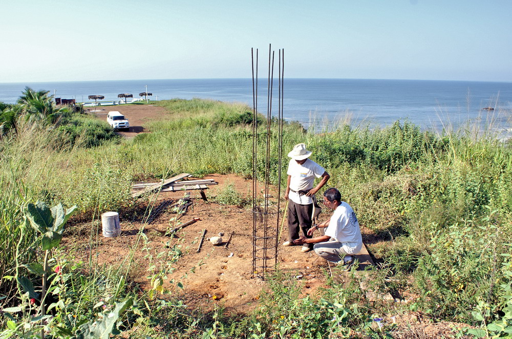
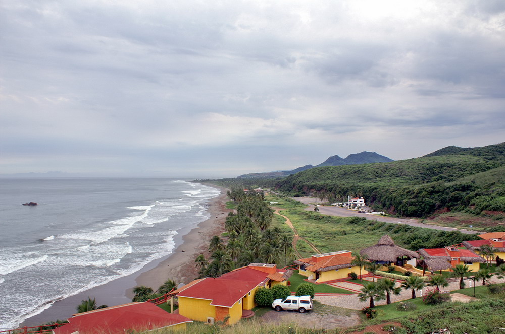
Latitude: 18° 04' 45.03" N (+18.0792) Longitude: 102° 45' 43.08" W (-102.7620) H: ~10 m |
|

|
 |
|
 |
|
|
 |
 |
|
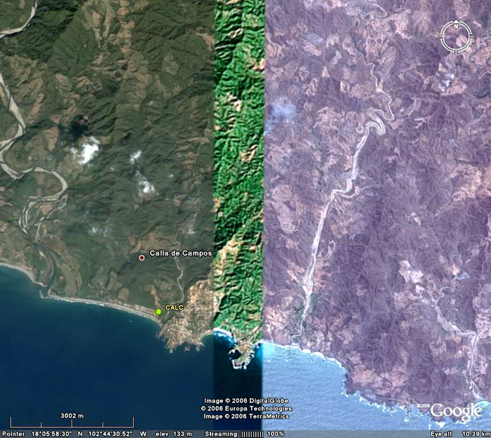
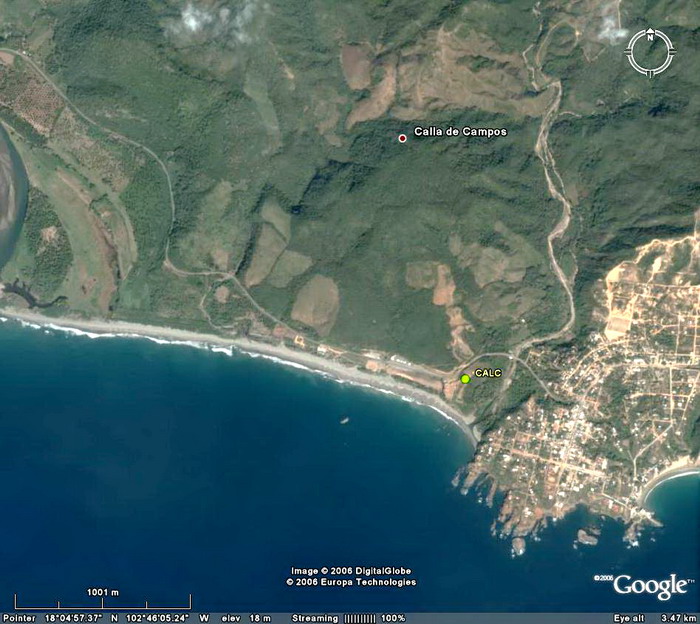
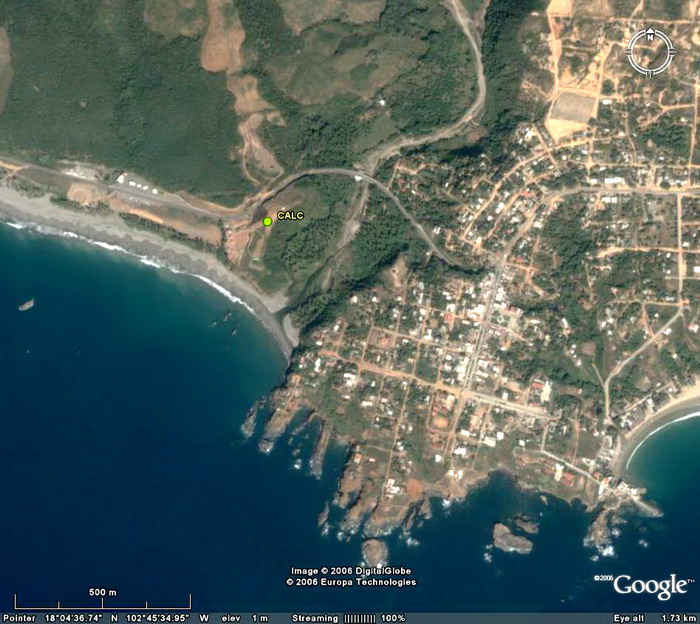
Location
on the map,
map, zoom-map Google Earth: 3km, 1km, 0.5km, 0.1km, kmz CALC log file Station horizon mask Data Plot |
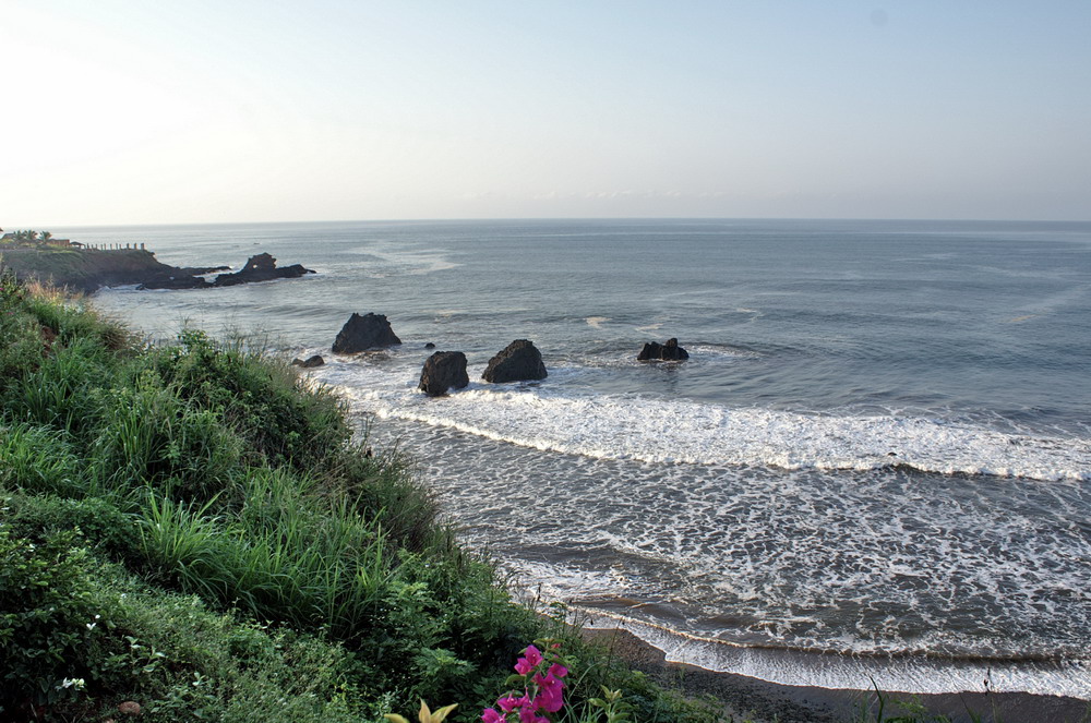
Latitude: 18° 04' 45.03" N (+18.0792) Longitude: 102° 45' 43.08" W (-102.7620) H: ~10 m |
|
|
|
|
|
|
|
|
|
|
|
|
![]()