|
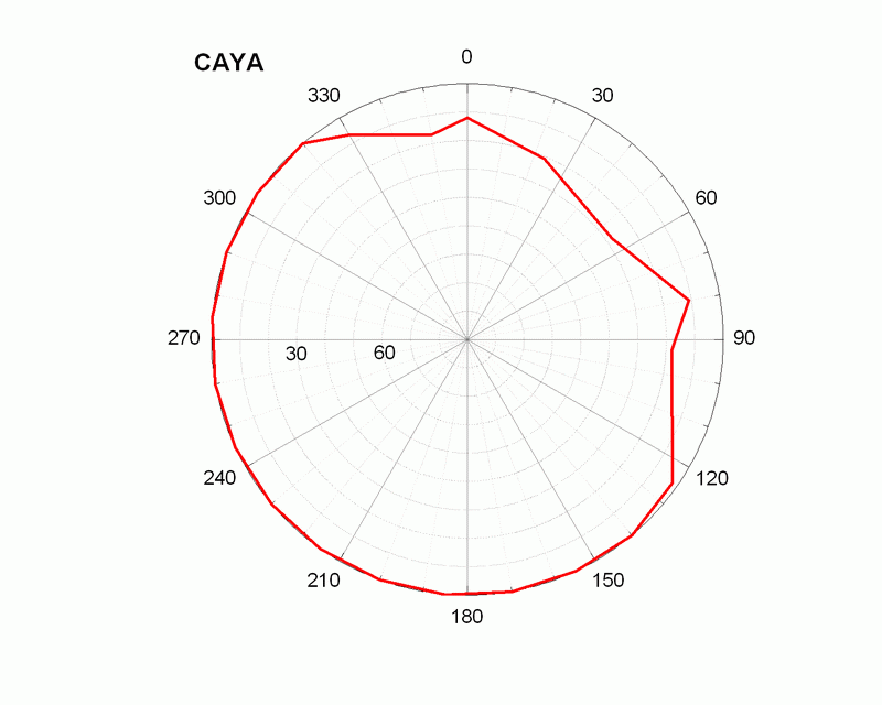
CAIG log file Station horizon mask UNAVCO CAYA Boulder Facility Archive Data Plot other Cayaco GPS web page 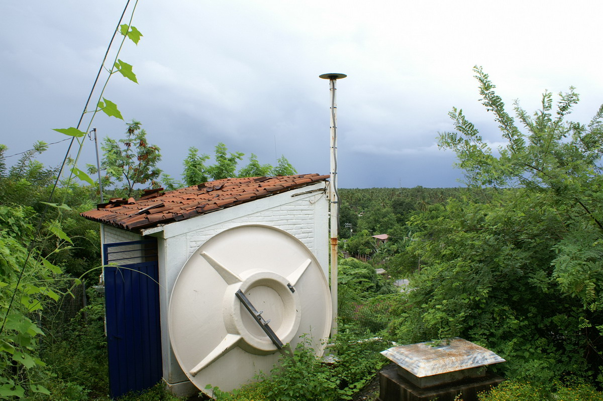 |
|
 |
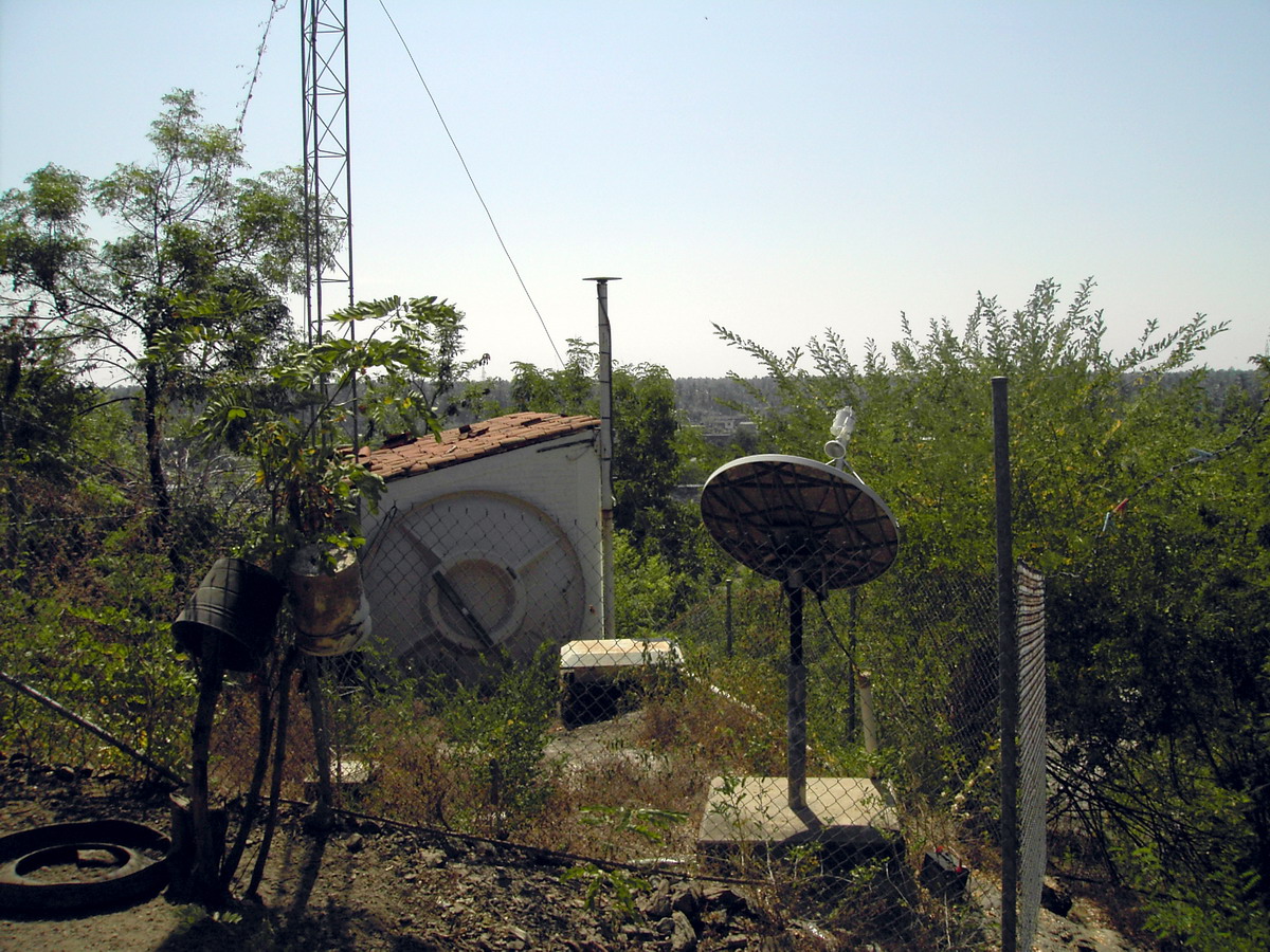 Cayaco
GPS. View to the South Cayaco
GPS. View to the South |
|
CAIG log file Station horizon mask UNAVCO CAYA Boulder Facility Archive Data Plot other Cayaco GPS web page |
|
|
|
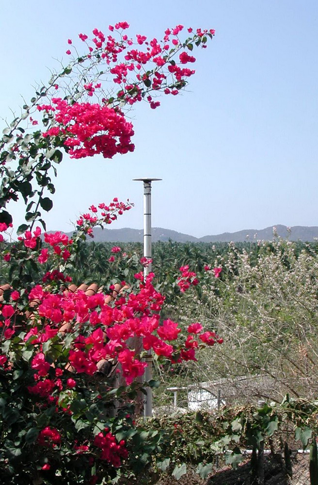
Cayaco
GPS. View to the South |
This continuous GPS
station in the Guerrero state, Mexico has been installed January
9, 1997 by Roger
Bilham and Vladimir
Kostoglodov at the BB seismic station
CAIG of the Servicio Sismológico Nacional,
IGF UNAM. The GPS data is analyzed every 30-35 days and plotted as a continuous record by Kristine
Larson.
The study is the first
stage of a joint collaboration between the IGF
UNAM and CU, GPS groups.
![]()