CERRO DE PIEDRA PERMANENT GPS STATION

GUERRERO
(SSN, IGF UNAM, Colorado University, UNAVCO)

    Location on the map
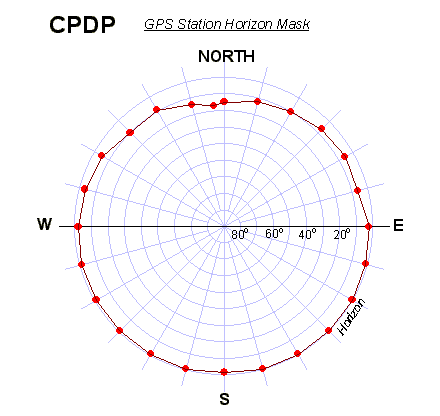
CPDP log file
Station horizon mask
Data Plot
UNAVCO Permanent Station Summary: CPDP

 Latitude:~      16° 46' 33.60" N  (+16.776 ) 
Longitude:~   99° 37' 44.40" W (-99.629 )
H:  (Ell. Height) ~ 40.00 m


 CPDP station, S view.
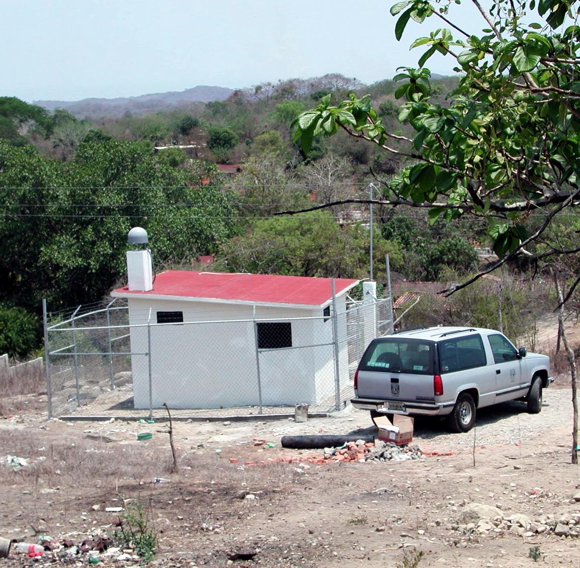
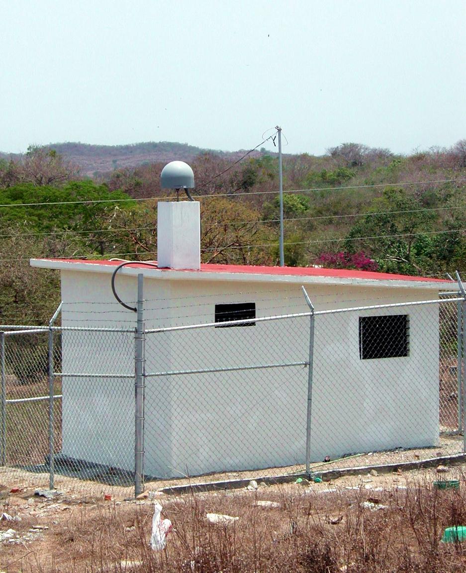
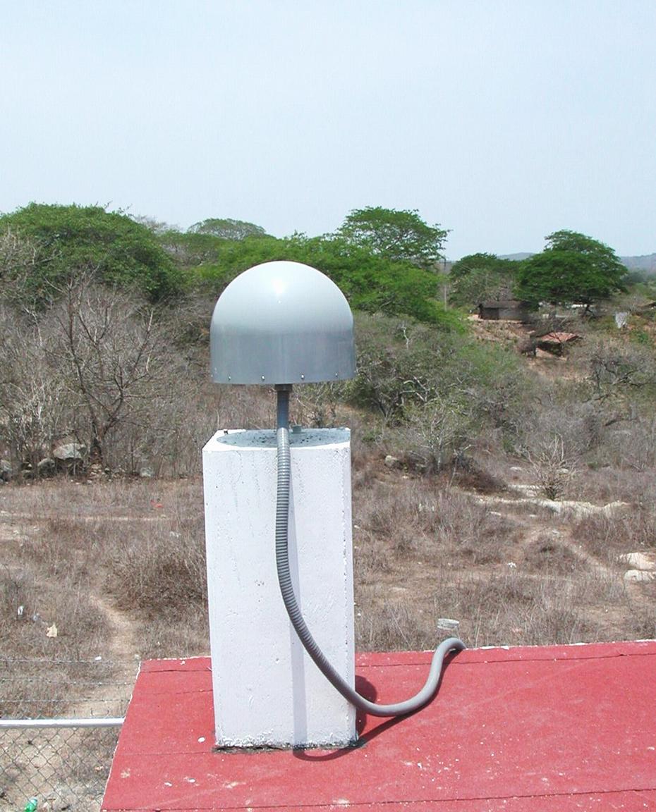
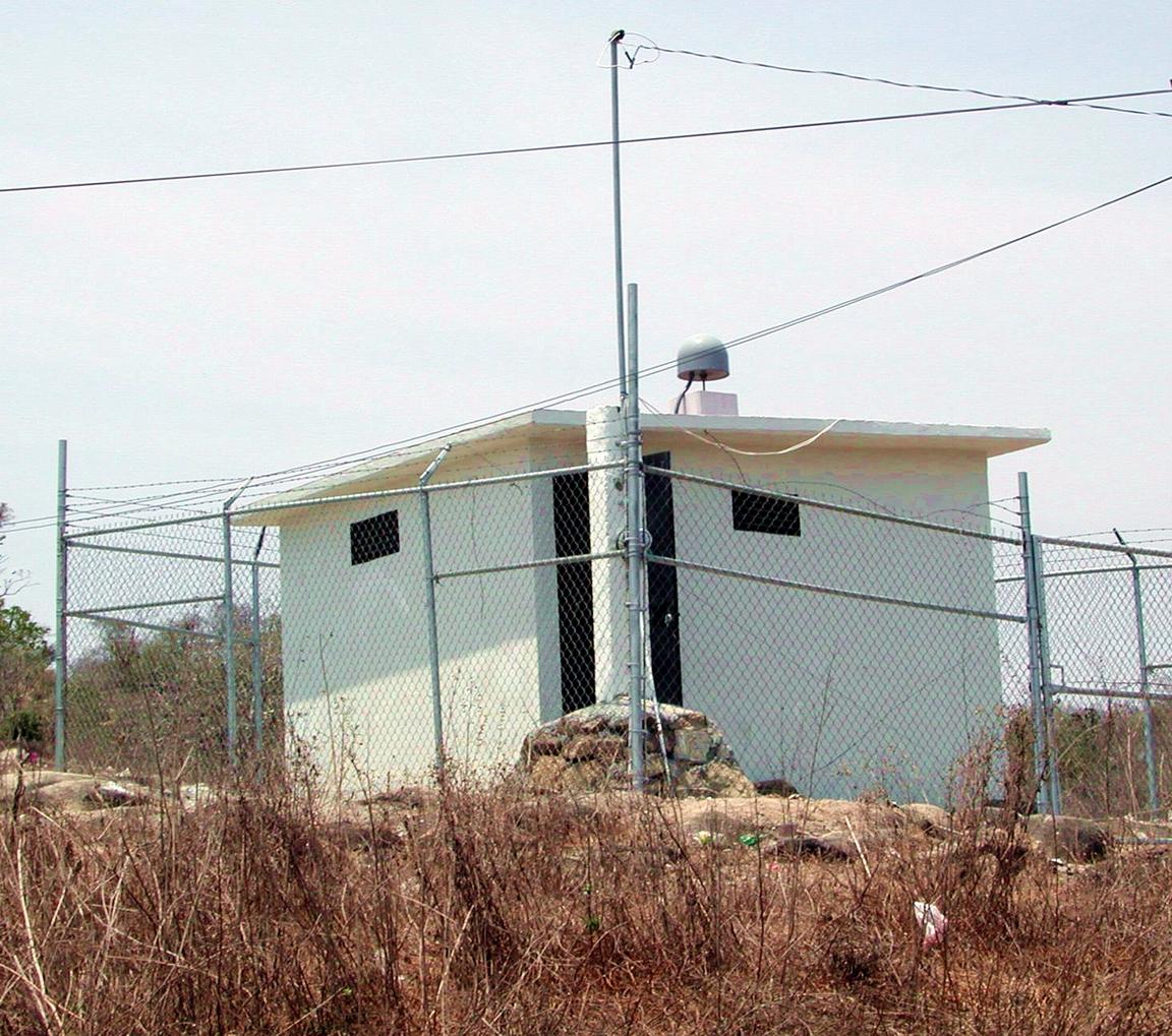
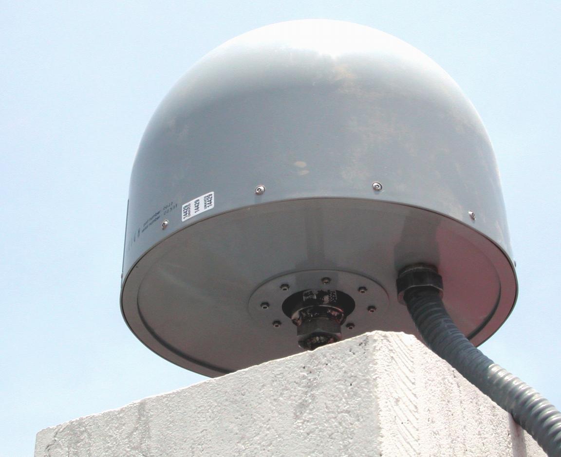
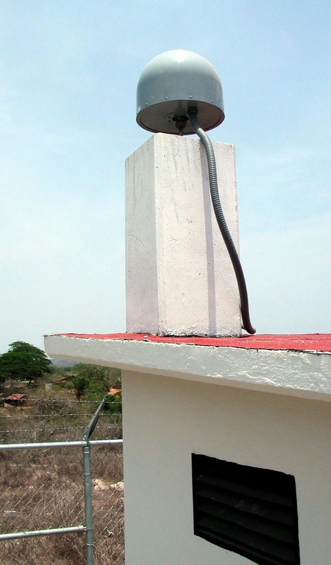
The main antenna is installed on the steel-reinforced concrete corner post.

 CPDP station, SW view.


GPS antenna at CPDP station, E view.

 CPDP station, NE view.

 SCIGN dome

GPS antenna at CPDP station, SE view.

Aknowlegment:
Participation of Jose Antonio Santiago, Jim Greenberg, Tony Lowry, Kristine Larson, and Karl Feaux was crucial to
turn this project into a reality. We thank Guerrero State Goverment and Protección Civil de Acapulco for the help.
TELMEX provided us with a valuable assistance in the telephone line installation. We appeciate a lot Sra. Alicia Gonzalez
Pinzon who gave us a permission to build the station on her land.


<< BACK