|
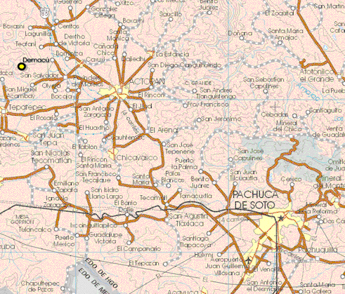
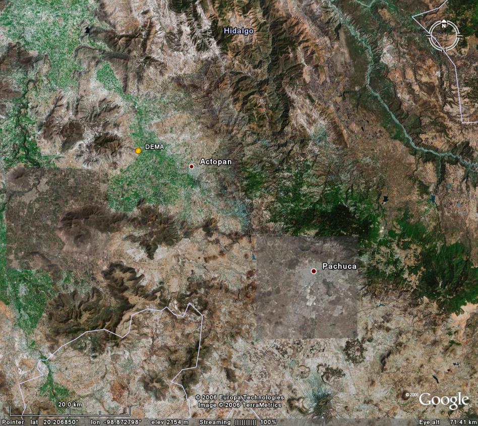
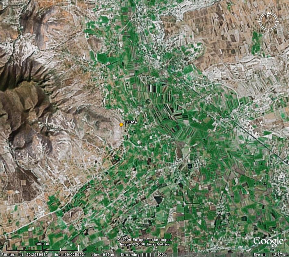
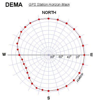
Google Earth: 20km, 3km, kmz DEMA log file Station horizon mask Data Plot |
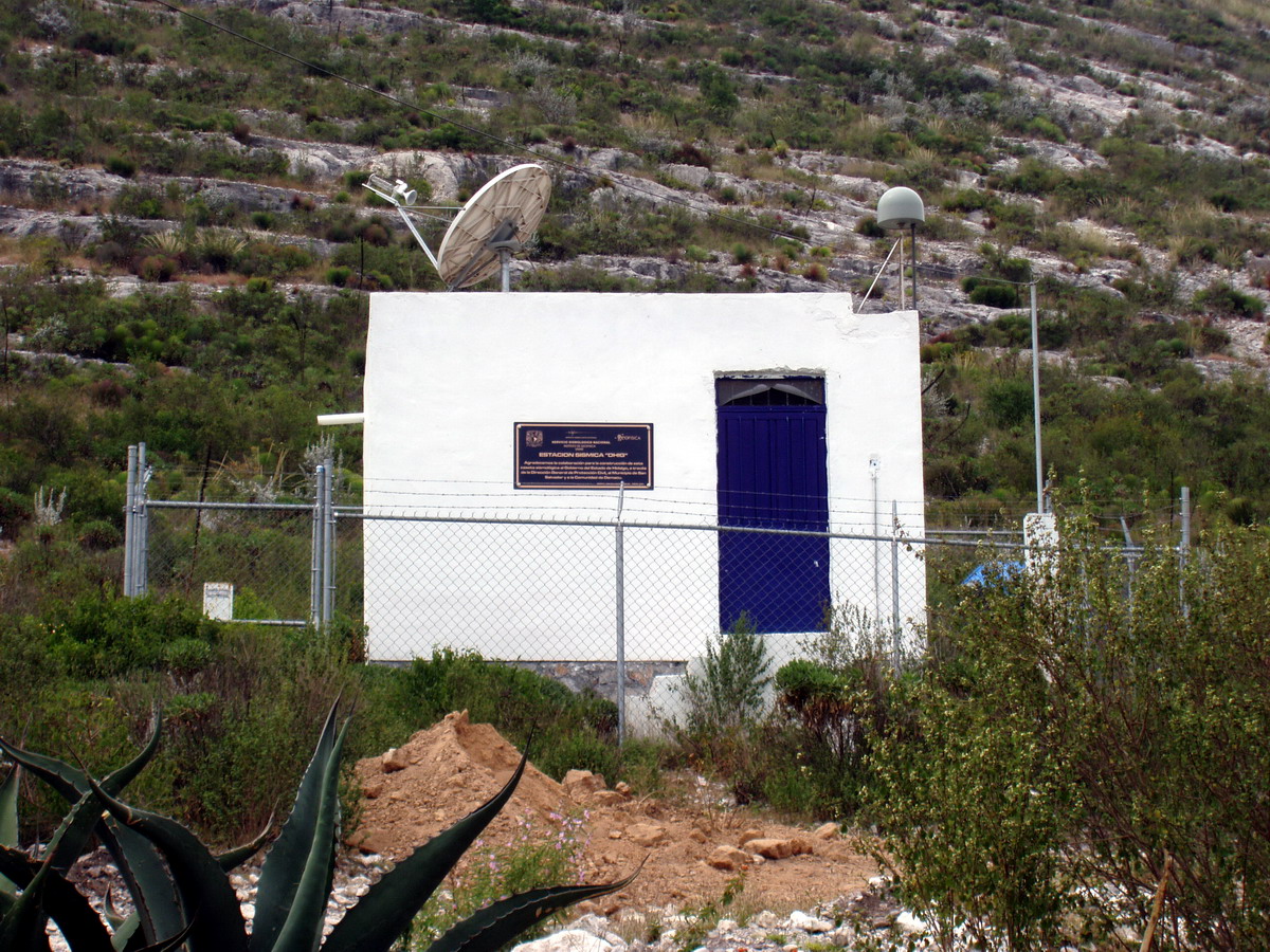
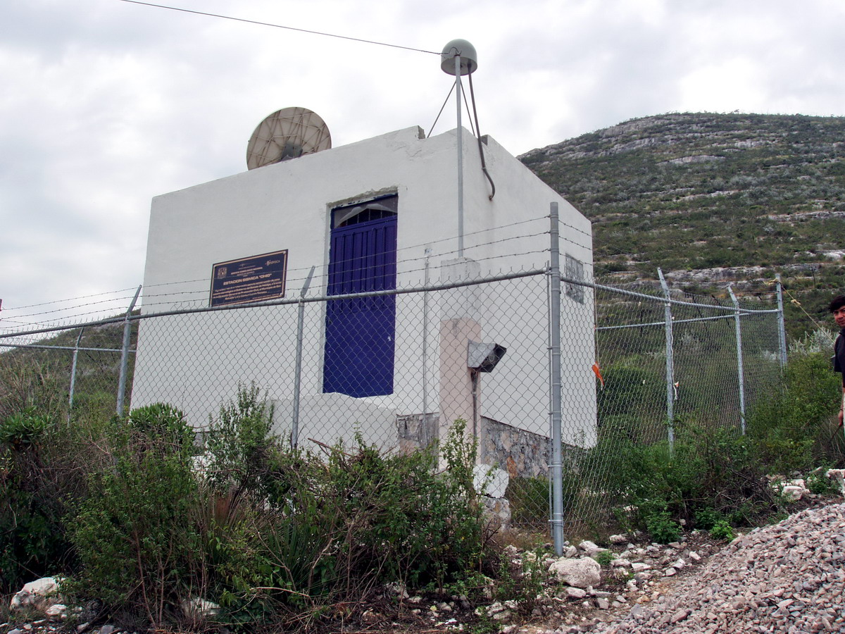 Caseta W view 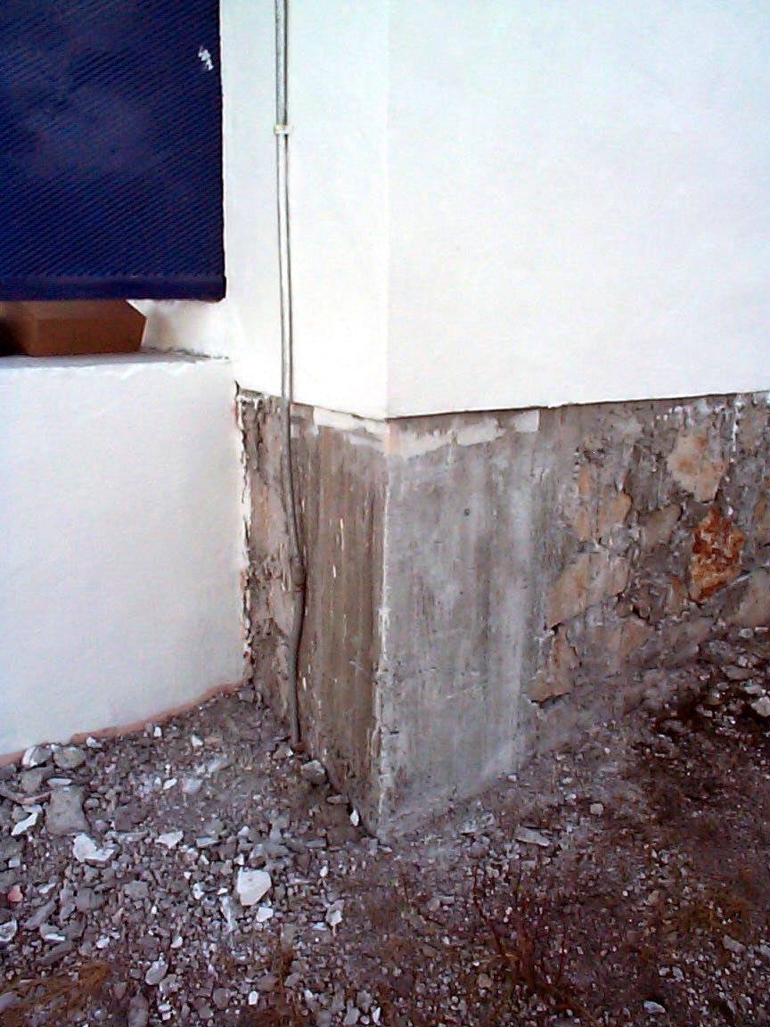 Basement |
 |
|
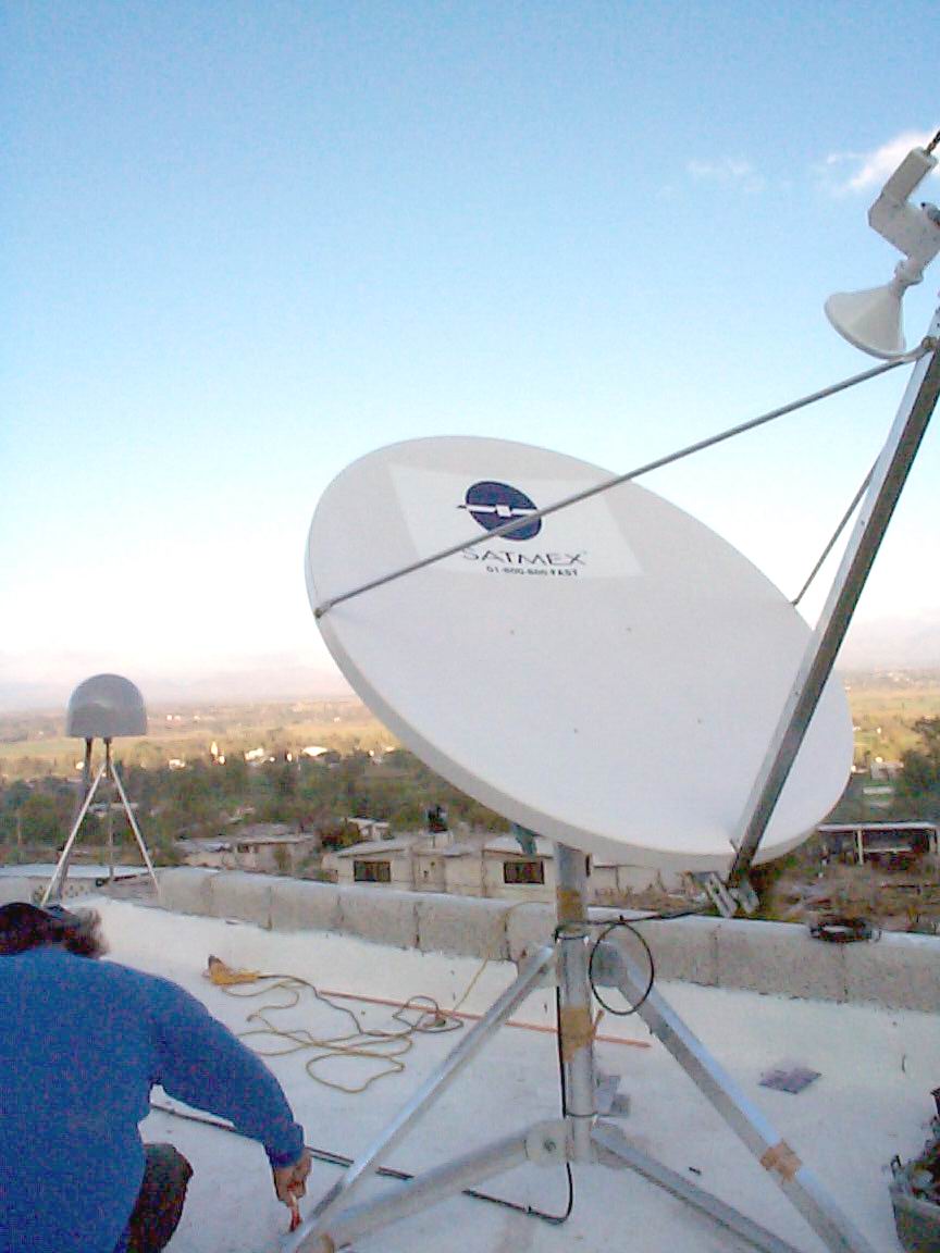 GPS and satellite antennas |
|
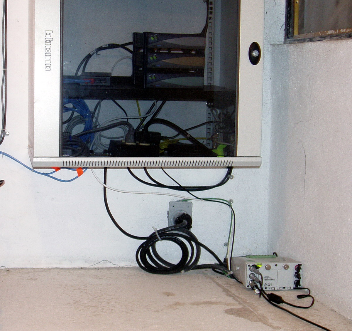 GPS receiver Leica GRX1200 |
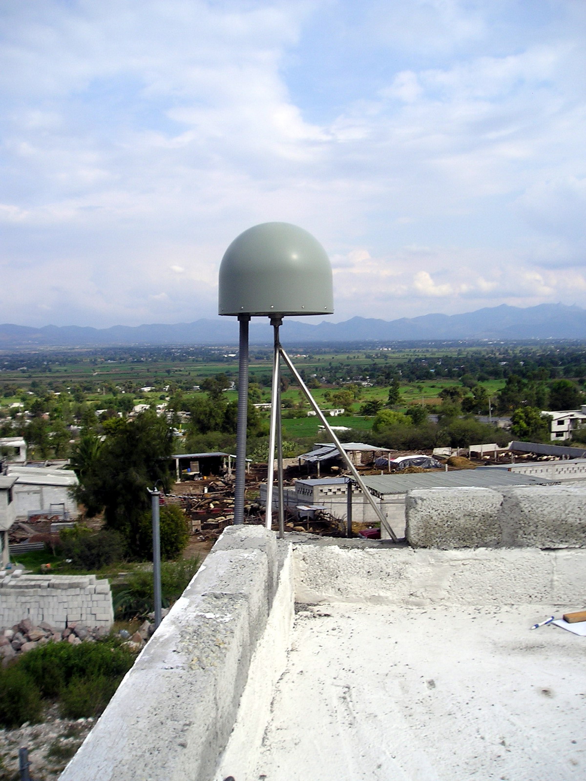 |
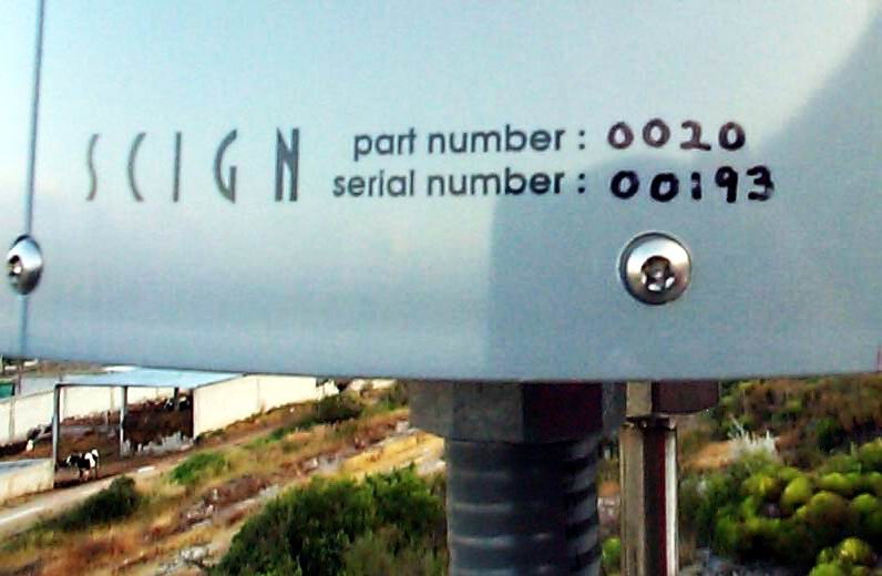  SCIGN radom and SCIGN radom base |
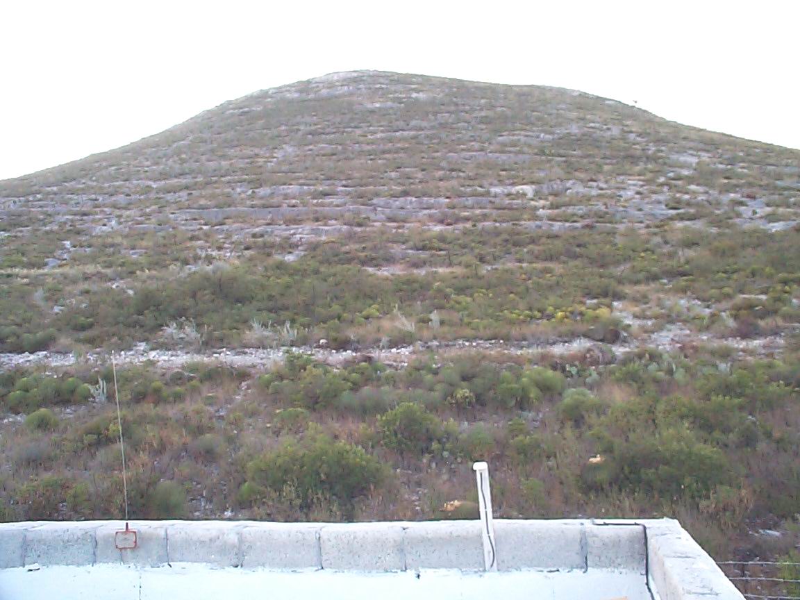 View to the West |
 |
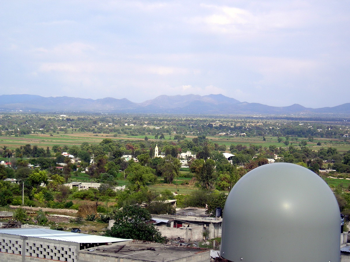 View to the East |