GUERRERO
(SSN, IGF UNAM, Colorado University, UNAVCO)
|
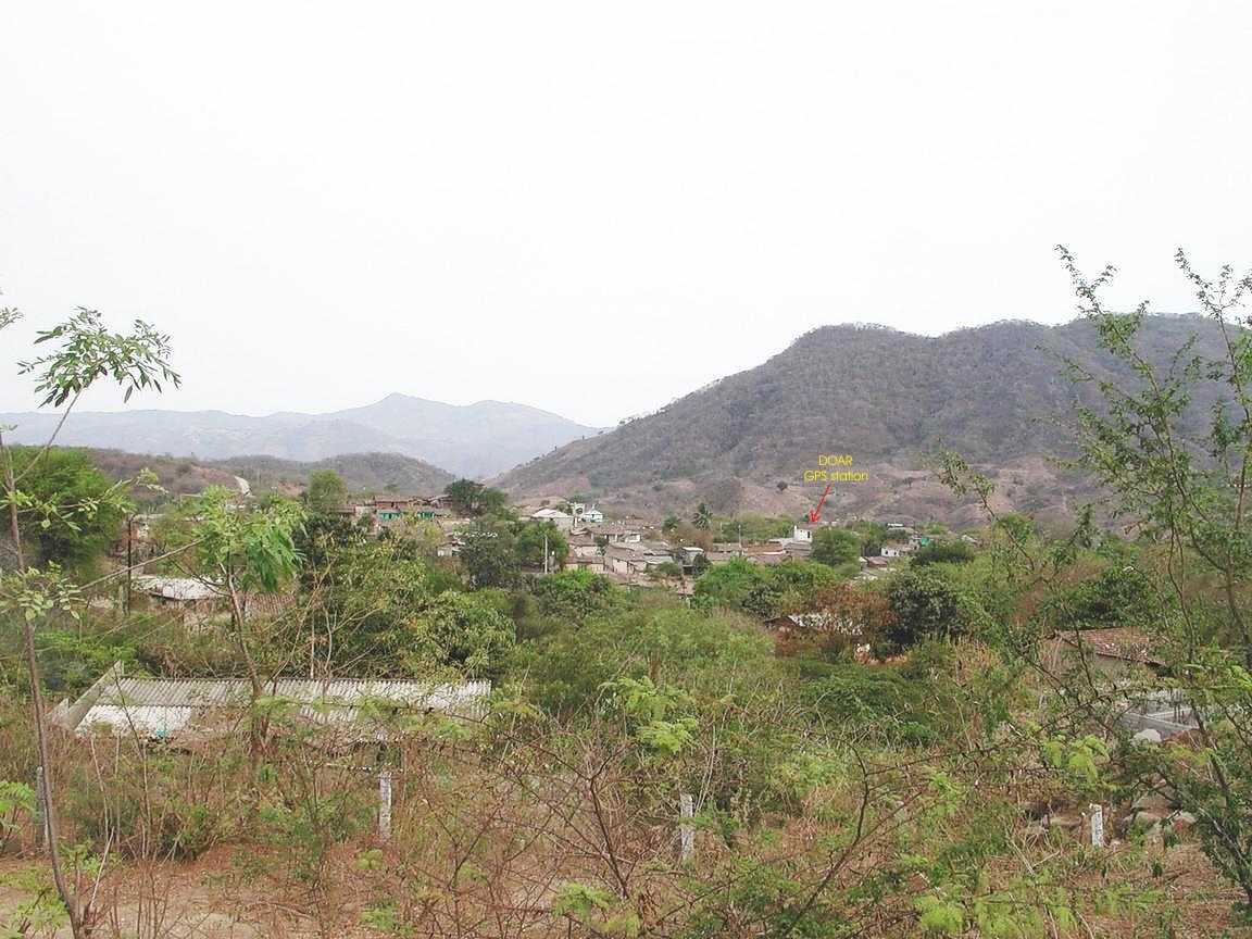
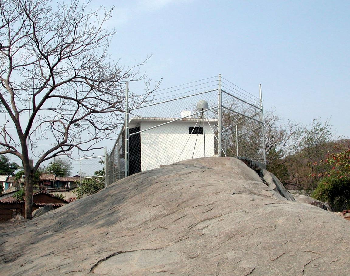
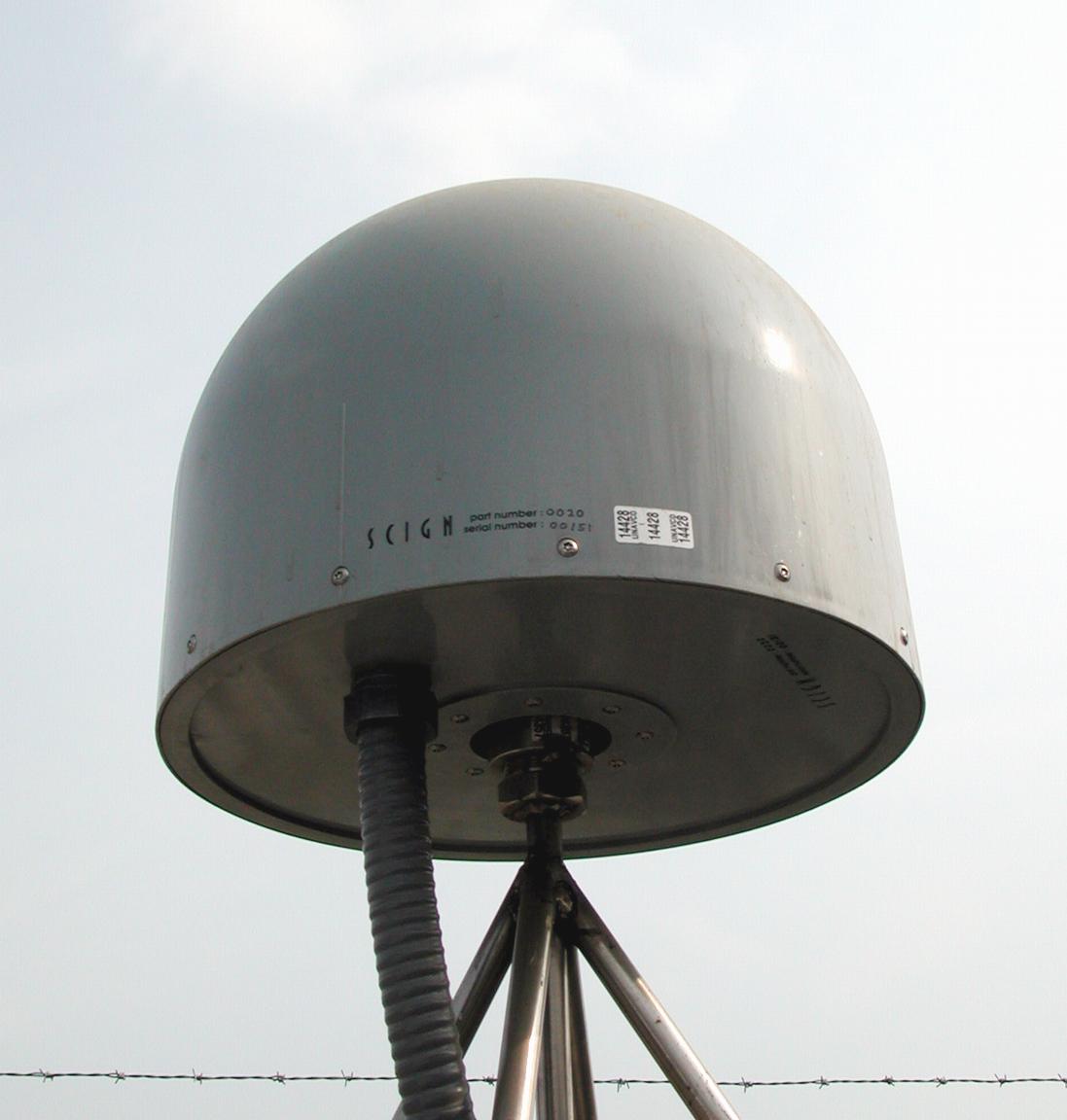
DOAR log file Station horizon mask Data Plot UNAVCO Permanent Station Summary: DOAR |
Longitude: 99° 39' 02.52" W (-99.6507 ) H: (Ell. Height) 240.00 m |
 |
 |
|
|
|
 |
 |
|
|
|
 |
 |
|
|
|
|
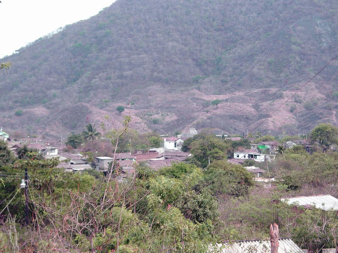
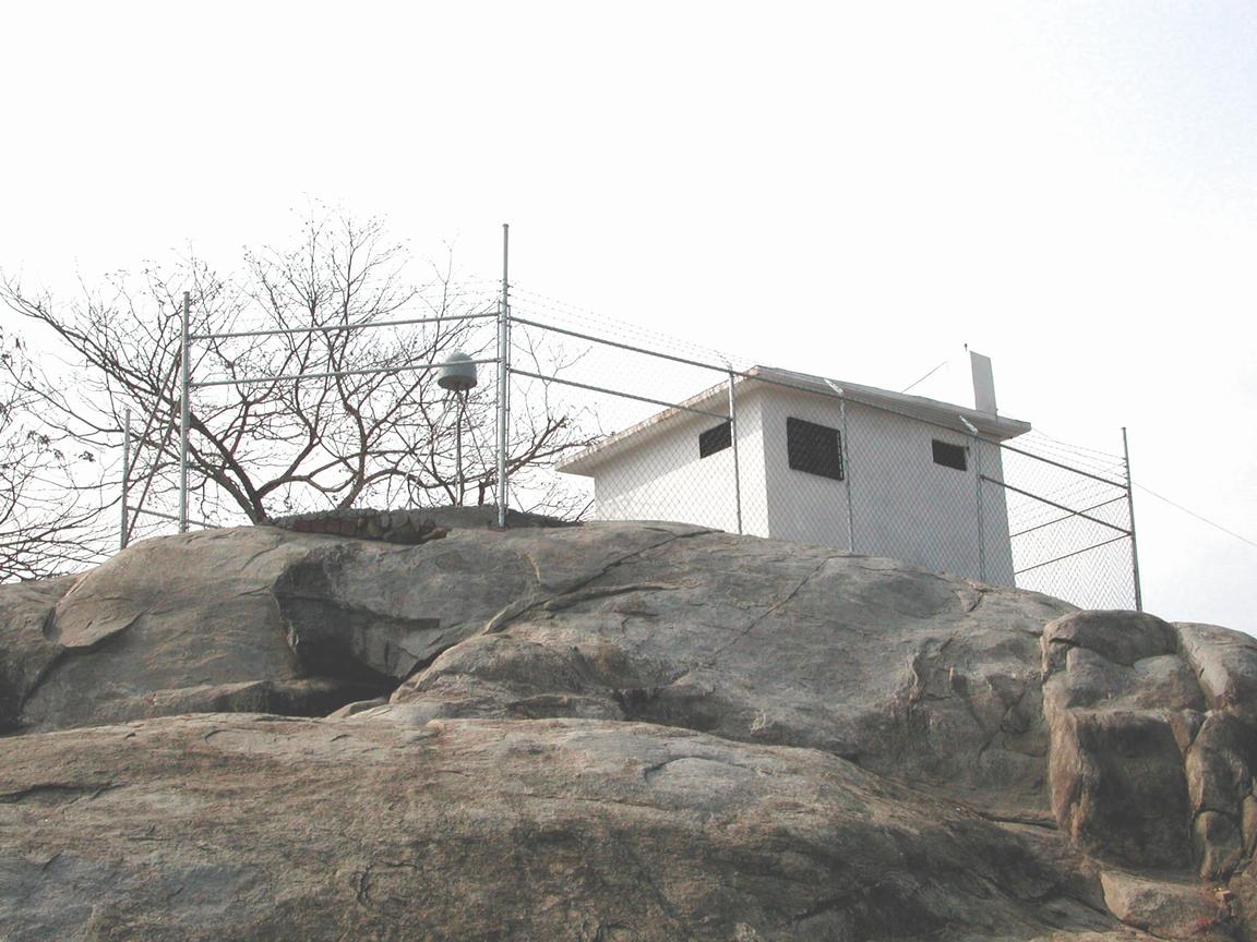
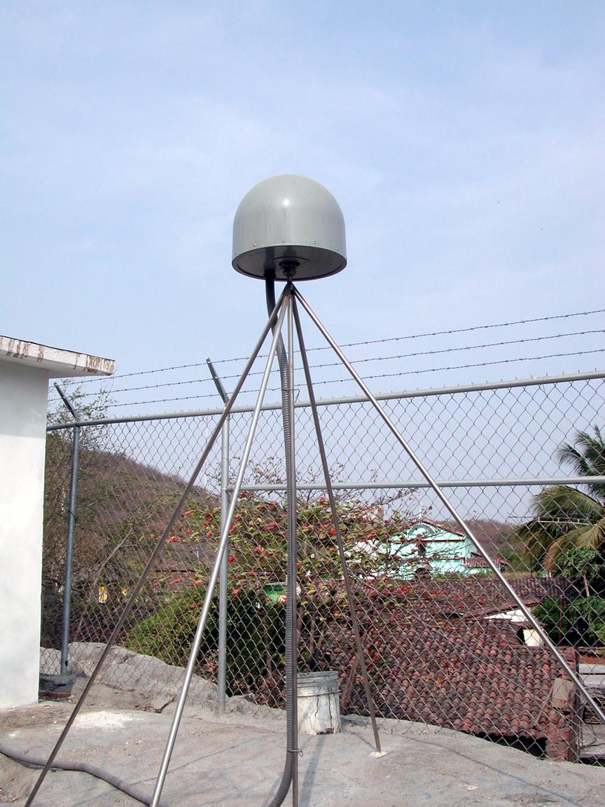
DOAR log file Station horizon mask Data Plot UNAVCO Permanent Station Summary: DOAR |
Longitude: 99° 39' 02.52" W (-99.6507 ) H: (Ell. Height) 240.00 m |
|
|
|
|
|
|
|
|
|
|
|
|
|
|
|
|
|
|
Acknowlegment:
Participation of Jose Antonio Santiago, Jim Greenberg, Tony Lowry,
Kristine Larson, and Karl Feaux was crucial to
turn this project into reality. We thank Guerrero State Goverment
and Protección Civil de Acapulco for the help.
TELMEX provided us with a valuable assistance in the telephone
line installation. The residents of the town of Dos Arroyos
kindly agreed to give us permission for the construction of this
station.
<<
BACK