|
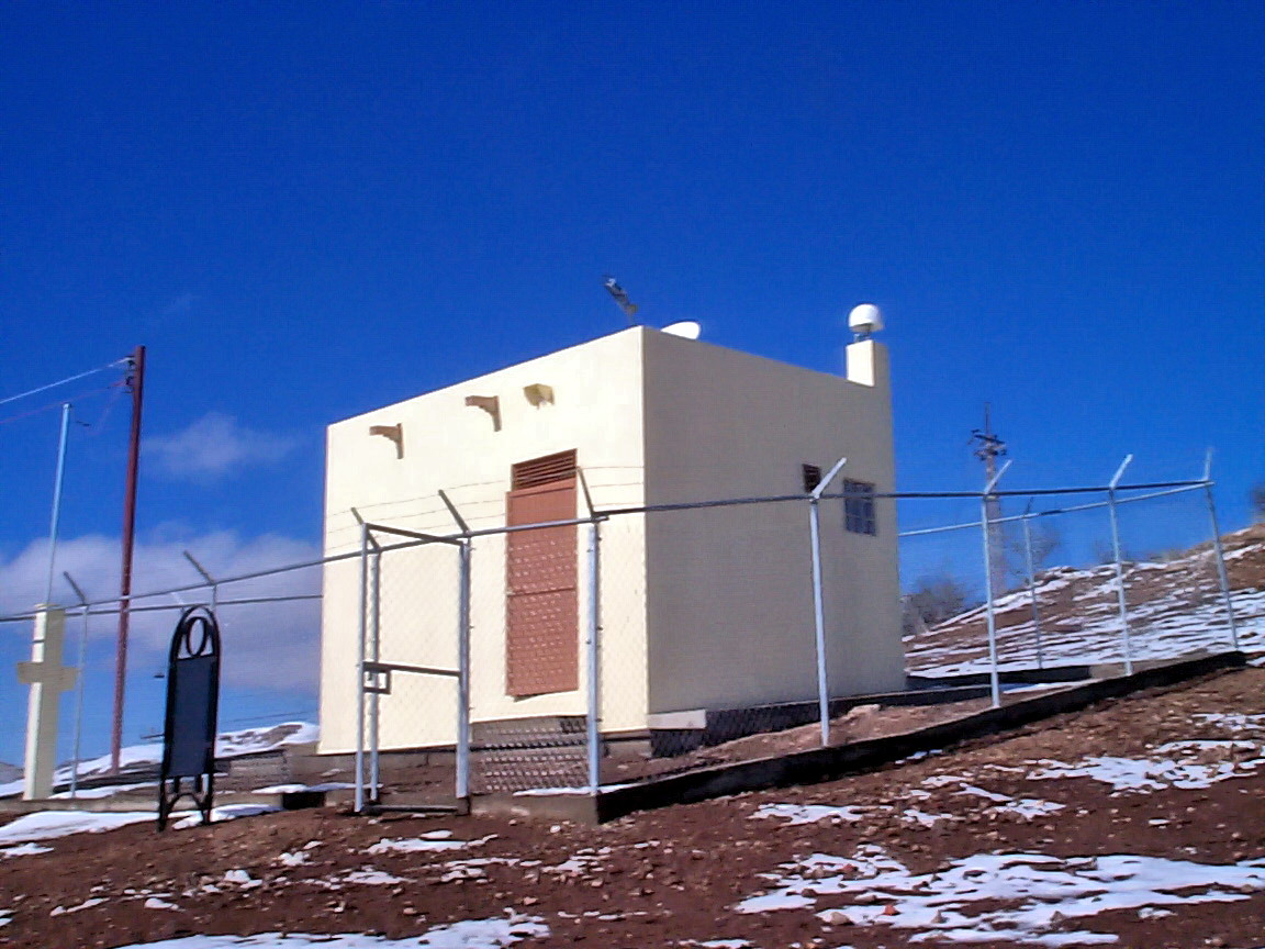
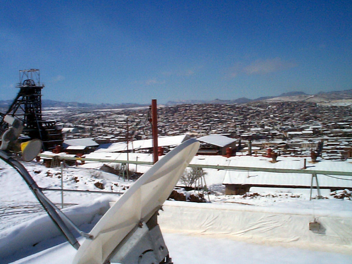
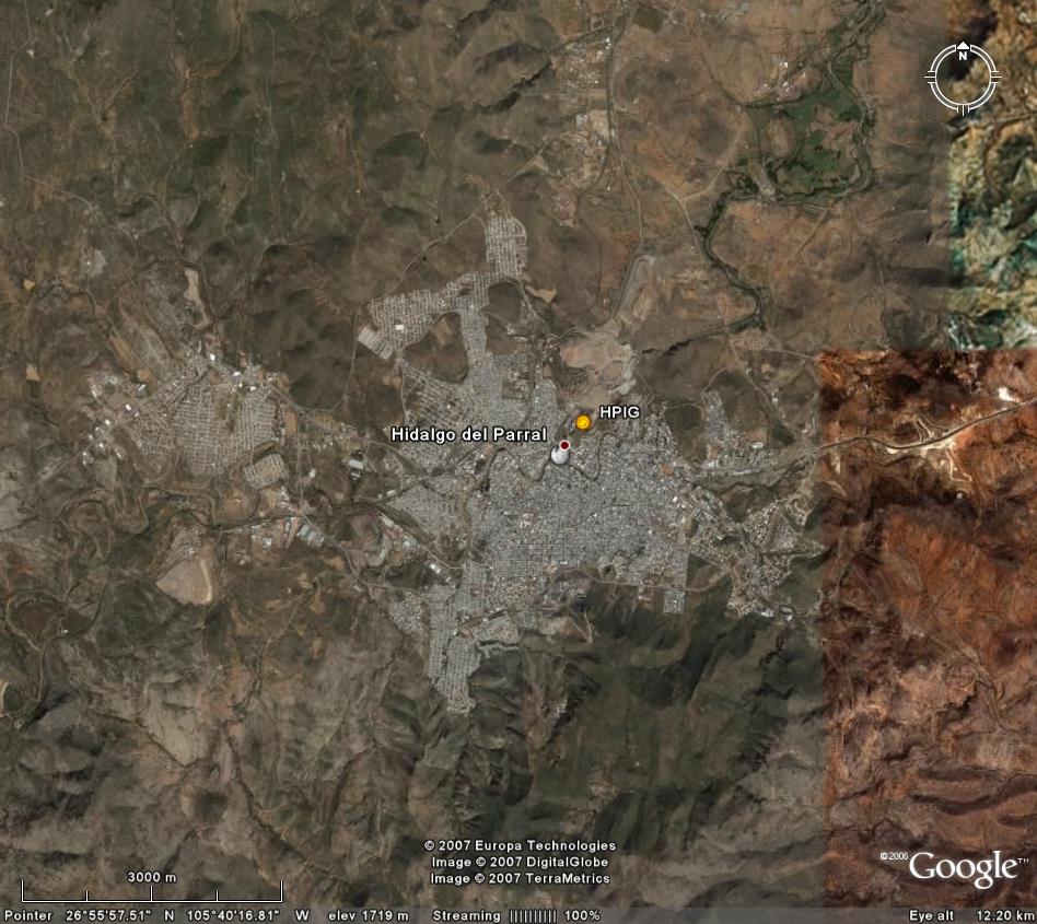
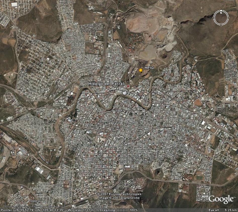
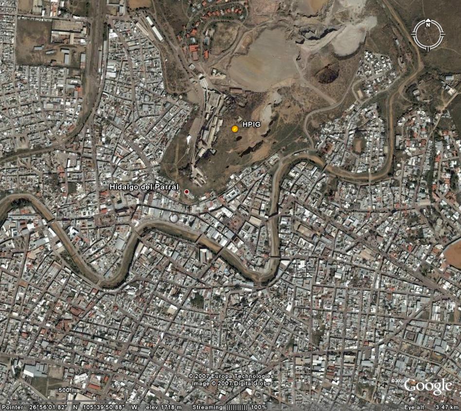
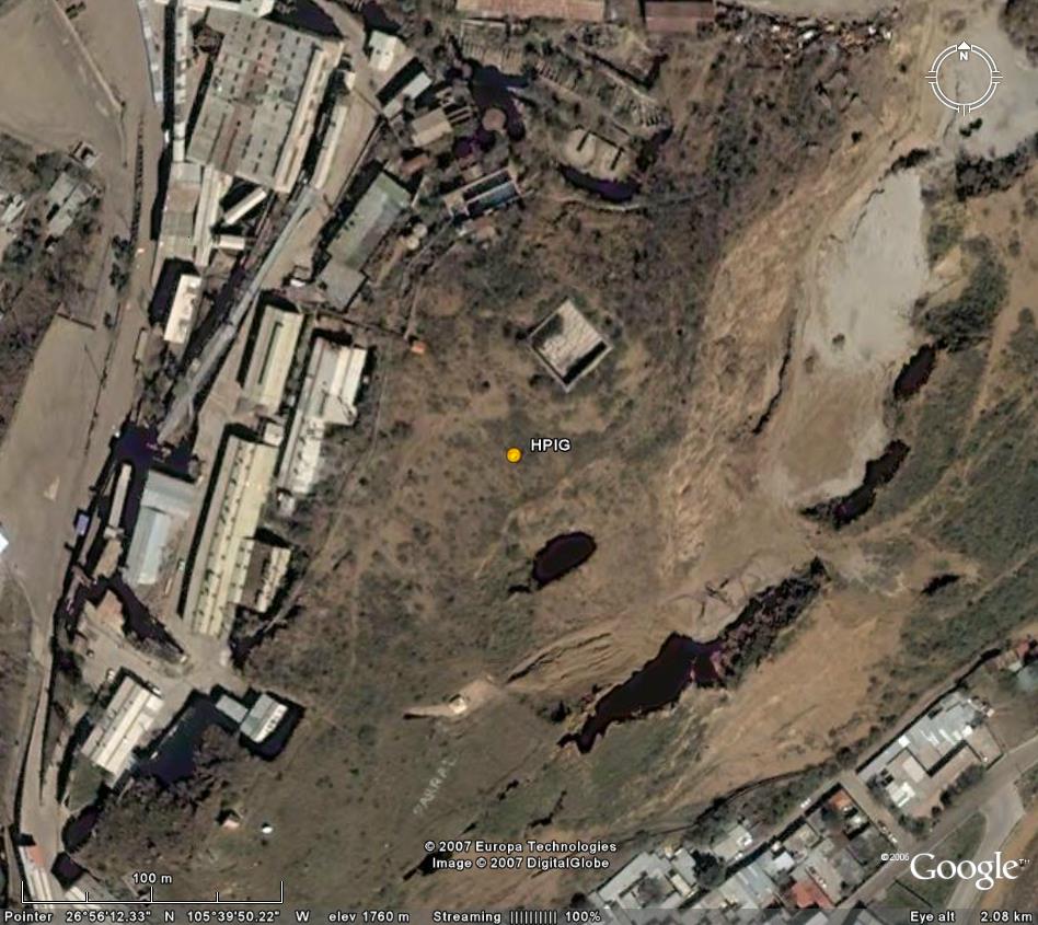
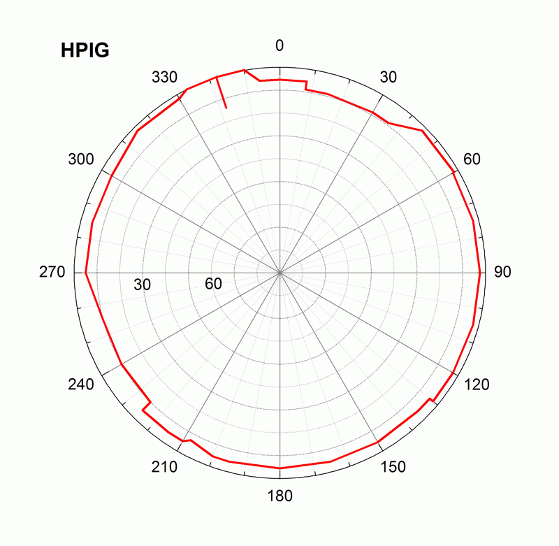
Location on the map: Google Earth: 3km, 1km, 0.5km, 0.1km, kmz file HPIG log file Station horizon mask Data Plot |
Latitude: 26°
56´ 12.4241" N Longitude: 105° 39´ 50.3052" W H: (Ell. Height) 1765.75 m |
 |
 |
|
|
|
 |
 |
|
|
|
 |
 |
|
|
|
 |
 |
|
|
|
 |
|
|
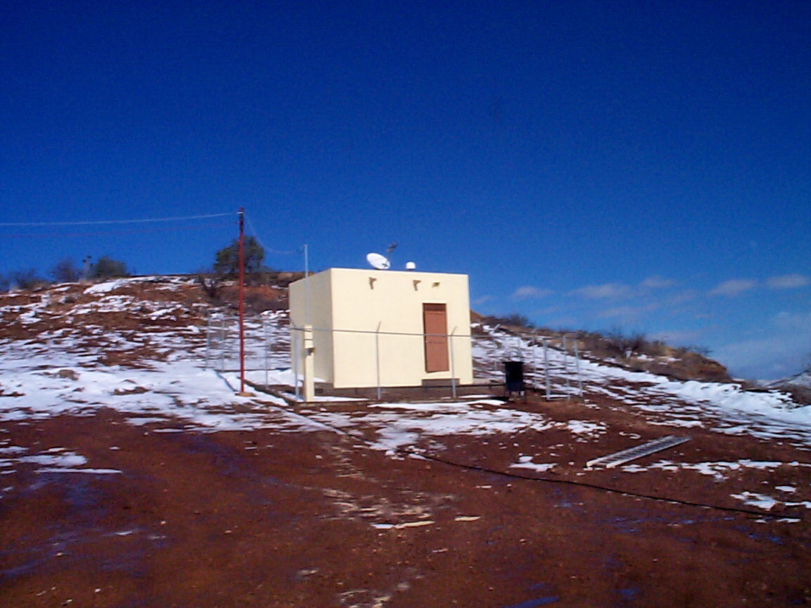
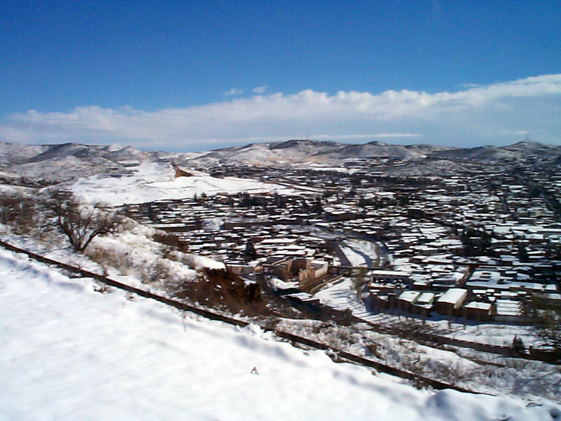
Location on the map: Google Earth: 3km, 1km, 0.5km, 0.1km, kmz file HPIG log file Station horizon mask Data Plot |
Latitude: 26°
56´ 12.4241" N Longitude: 105° 39´ 50.3052" W H: (Ell. Height) 1765.75 m |
|
|
|
|
|
|
|
|
|
|
|
|
|
|
|
|
|
|
|
|
|
|
|
|
|
|
|
![]()