|
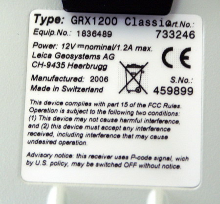
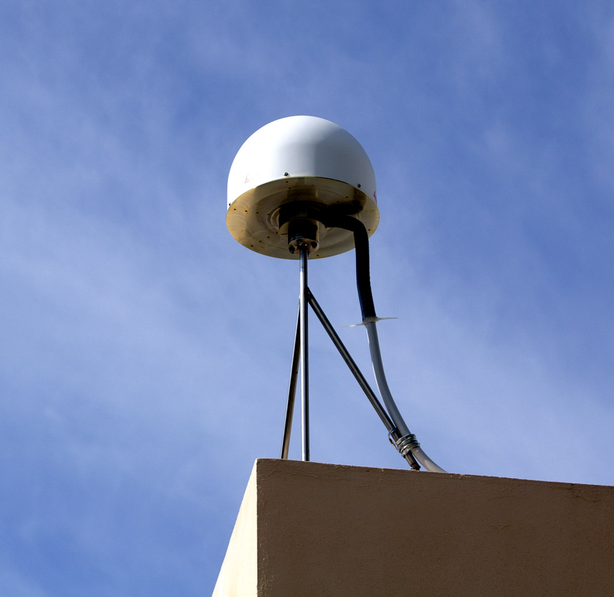
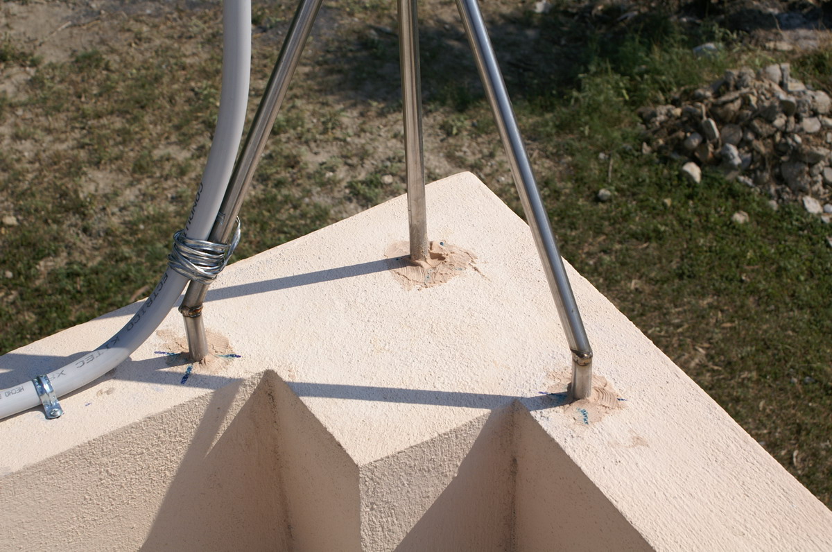
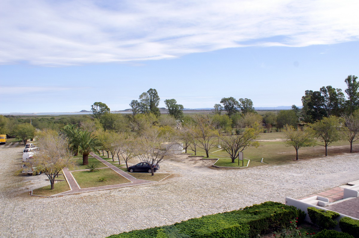
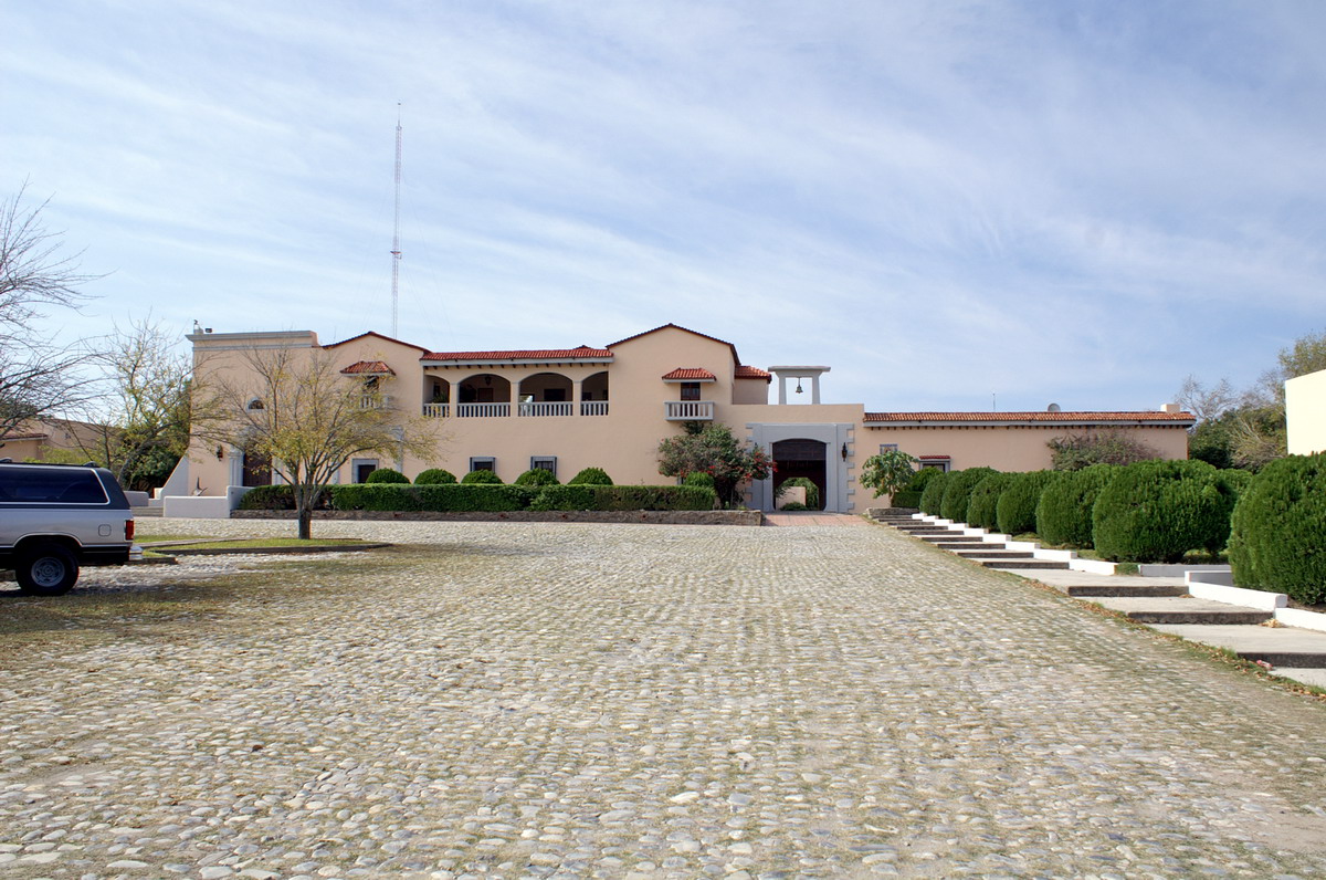
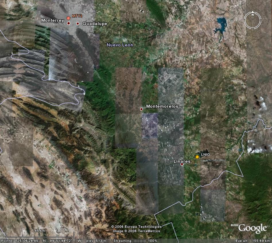
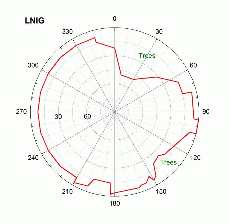
Location on the map: Google Earth: 3km, 1km, 45km, 17km 3D, kmz file LNIG log file Station horizon mask Data Plot |
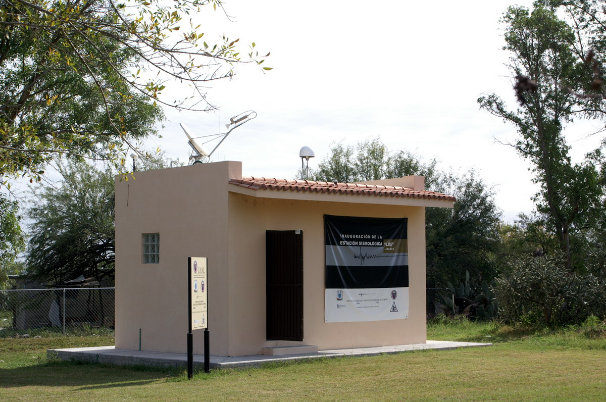
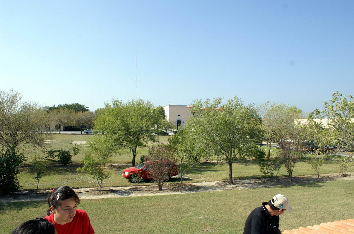
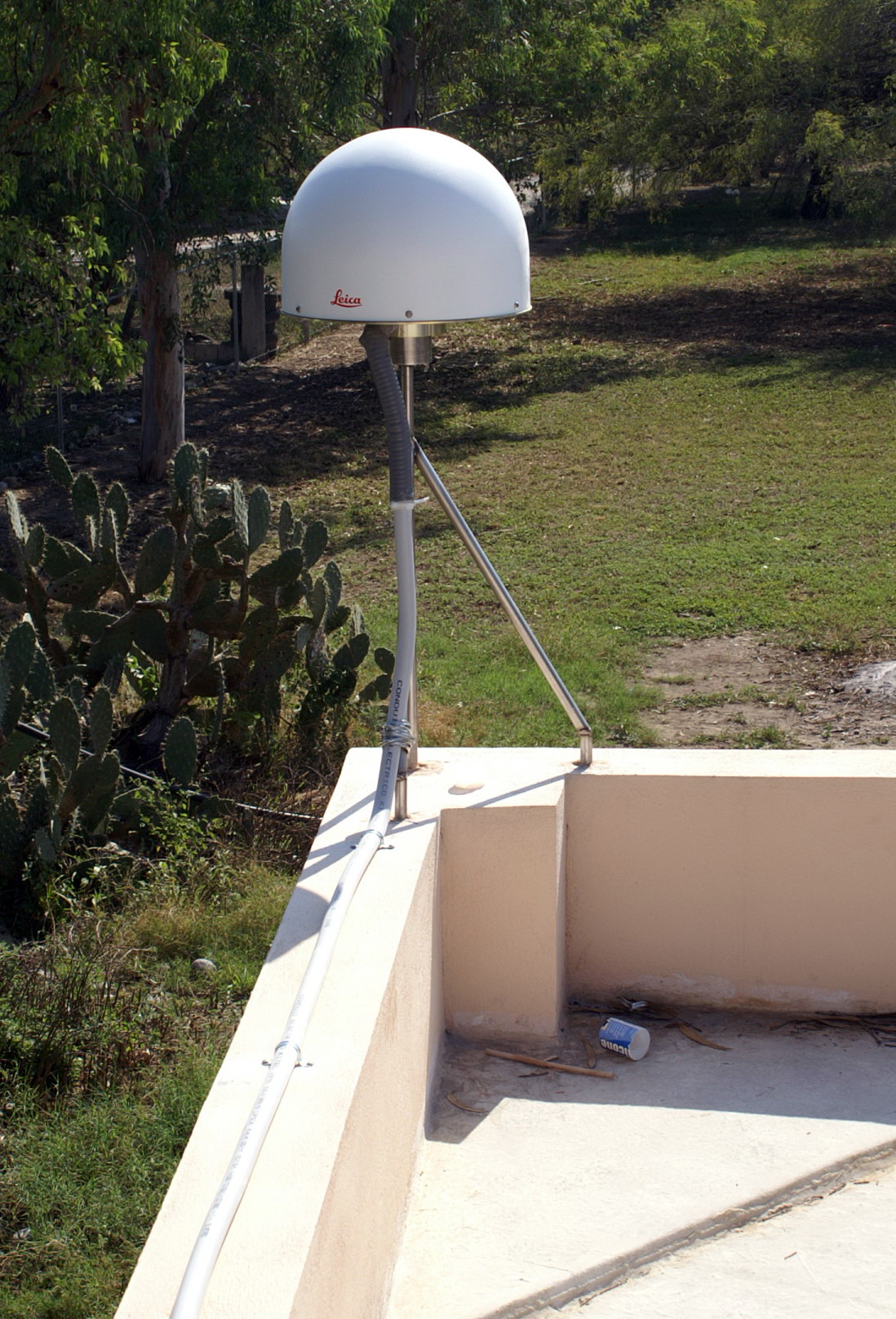
Latitude: 24°
53´ 53.3264" N Longitude: 99° 27´ 57.0287" W H: (Ell. Height) 278.03 m |
|
 |
 |
|
|
|
 |
 |
|
|
|
 |
 |
|
|
|
 |
 |
|
|
|
 |
  |
 |
 |
 |
 |
|
|
|
|
|
 |
|
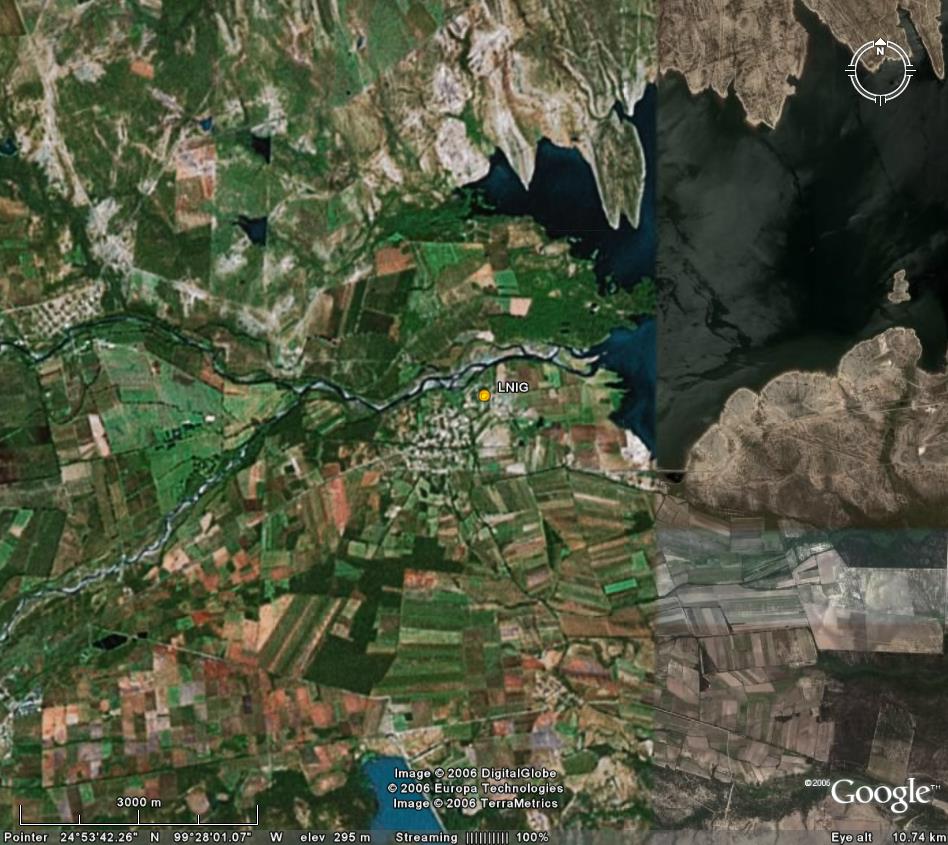
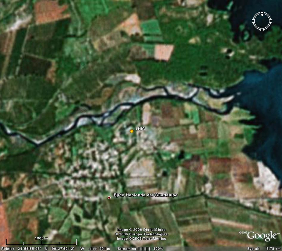
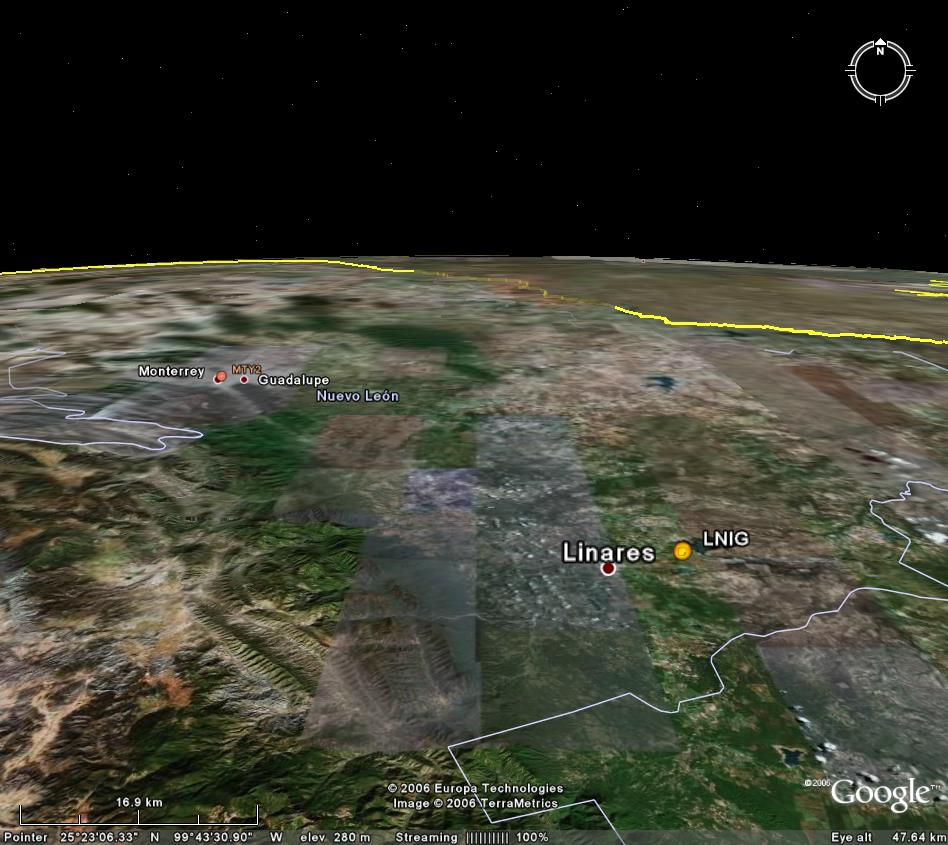
Location on the map: Google Earth: 3km, 1km, 45km, 17km 3D, kmz file LNIG log file Station horizon mask Data Plot |
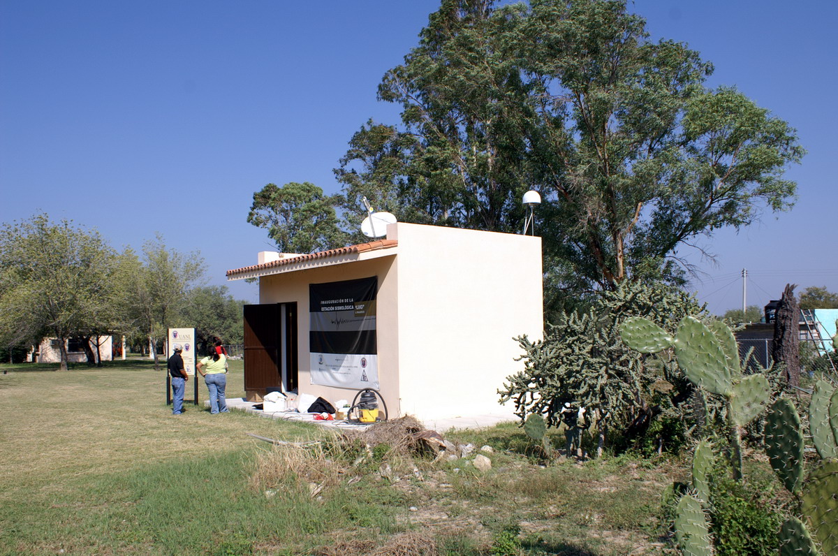
Latitude: 24°
53´ 53.3264" N Longitude: 99° 27´ 57.0287" W H: (Ell. Height) 278.03 m |
|
|
|
|
|
|
|
|
|
|
|
|
|
|
|
|
|
|
|
|
|
|
|
|
|
|
|
|
|
|
|
|
|
|
|
|
|
|
|
![]()