|
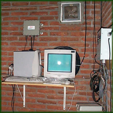
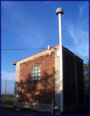
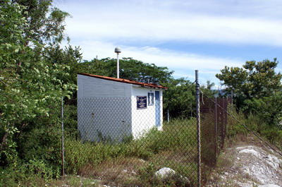
ZIHP log file Station horizon mask Data Plot |
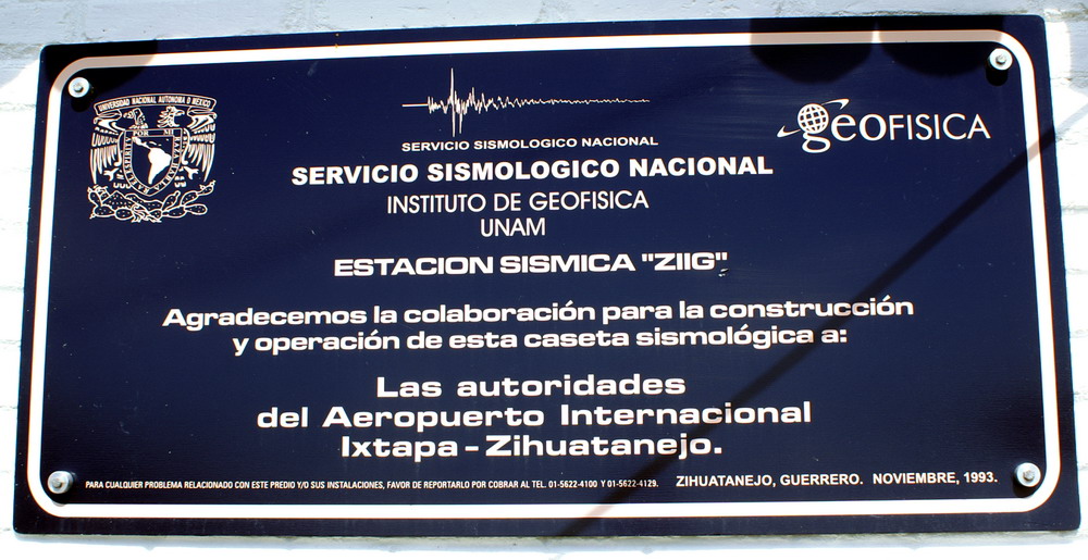
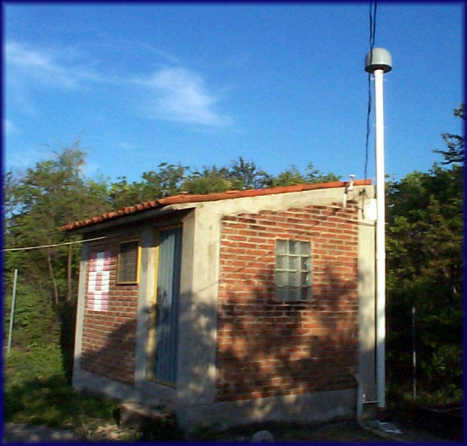
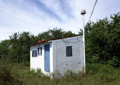
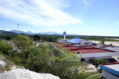
Latitude: 17° 36' 25.13718"
N (+17.6069825498) Longitude: 101° 27' 52.93183" W (-101.464703286) H: (Ell. WGS84 height) -2.09 m |
||||
 |
 |
|
|||
|
|
|
||||
 |
|
 |
|||
|
|
|
|
|||
 |
 |
 |
|||
|
ZIHP log file Station horizon mask Data Plot |
Latitude: 17° 36' 25.13718"
N (+17.6069825498) Longitude: 101° 27' 52.93183" W (-101.464703286) H: (Ell. WGS84 height) -2.09 m |
||||
|
|
|
|
|||
|
|
|
||||
|
|
|
|
|||
|
|
|
|
|||
|
|
|
|
|||