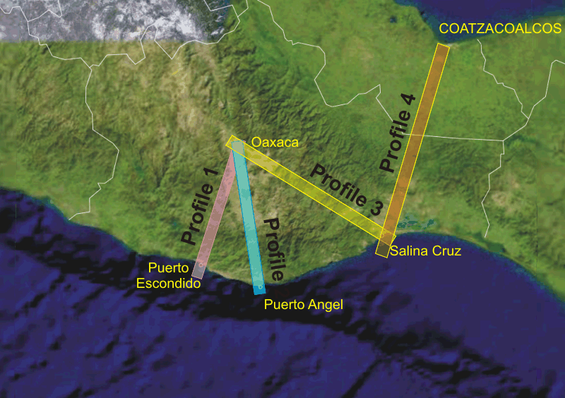
Proposed profiles

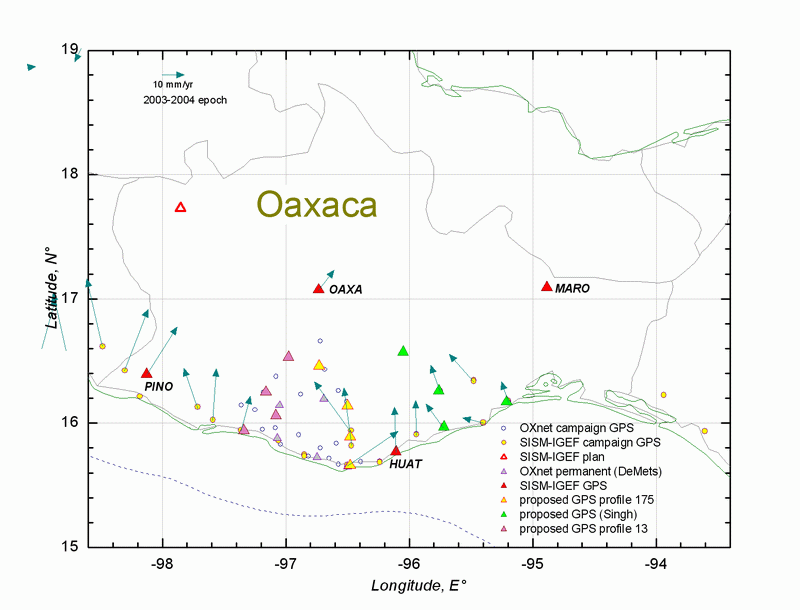
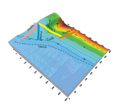

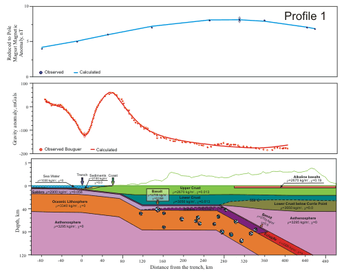
 Subducted
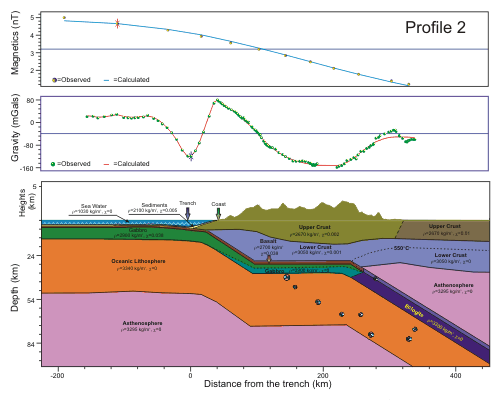
interplate geometry along the profiles 1-4
|
|
|
|
|
|
|
|
|
|
|
|
|
|
|
|
|
|
|
|
|
|
||
|
|
|
|
|
|
|
|
|
|
|
|
|
|
|
|
|
|
||
|
|
|
|
|
|
|
|
|
|
|
|
|
|
|
|
| Oaxaca SISMO-IGEF campaign sites | |
| SISMO-IGEF permanent | |
|
All OXnet campaign sites OXnet 2003 from UNAVCO |
|
| OXnet permanent | |
| INEGI OAX2 |
Sara
Ivonne's draft ms:
Propagation of the 2001-2002 aseismic
slow slip event and an interplate coupling in the Oaxaca subduction
zone, Mexico
to be submitted for publication
in JGR or EPS(Earth, Planets and Space). PDF
file 1.13 Mb, DOC
file 1.1 MB